
My final two days of coastal walking in Scotland! I knew this was going to be hard as I intended to complete the remaining 50+ miles or so down to Berwick-upon-Tweed over two days.
As with most travel plans these days I had half an eye on potential local lockdowns due to spikes in covid-19 cases or the arrival of autumnal weather. Because I don’t do a travelling day now I had to try and get some sleep before I set off from Telford in Shropshire for the overnight journey to Cockburnspath, which is about 20 miles north of Berwick-upon-Tweed. However, I did not get much sleep in the end, but I knew I would sleep well that night.
Cockburnspath is the meeting place of two famous long distance footpaths, the Southern Upland Way which snakes over the hills across the Scottish Borders to finish at Portpatrick on the West Coast after 341km. The second path is the shorter Berwickshire Coastal Path, which I would be making use of on my second day of walking and which runs down the coast to Berwick. There is also a link extension path to the John Muir Way which runs north to Dunbar.
After parking in the village square in Cockburnspath, I caught the 06:27 #253 bus service to West Barns, just west of Dunbar. Here I waited for the 07:50 #120 bus service to North Berwick, where I got off at the train station.
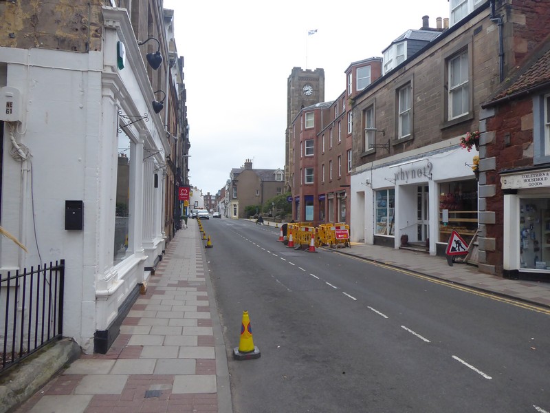
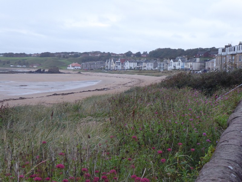
At 08:30 North Berwick was deserted, although I did manage to find a Greggs open, so I nipped in for a coffee and sausage bap. I had a couple issues with trying to get out of North Berwick on various footpaths, but eventually got onto the A198 which had a footpath for most of the way. The elevated position ensured I had tremendous views across nearby Tantallon Castle and out to the guano covered Bass Rock.
After a short distance on the road at Auldhame I headed for the shoreline at Seacliffe Beach. I walked along the shoreline a short way before I needed to climb up onto the low-lying cliff line to pick up one of the numerous farm tracks which would lead me to Tyninghame. I passed an awful lot of Private notices which I ignored, as these were farm tracks I was walking along. Because of the River Tyne, the Scottish one, I knew I would have to divert inland. The whole area is part of the Tyninghame Estate and although there is a footbridge further east along the river, the bridge is in a poor state of repair. However, I did later find a recent photo of the bridge and it seemed ok to me; anyway the inland detour only amounted to an additional mile.
After crossing the River Tyne I joined up again with the John Muir Way which was returning from one of its many inland detours. I stayed on the John Muir Way into Dunbar, which incidentally was where John Muir was born in 1838 and has a local country park named in his honour. I wonder how long that will last in these days of retrospective examination of dead people’s words?


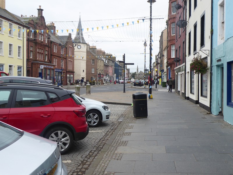
After stocking up on more supplies I set off along the shoreline of Dunbar’s Golf Course. The course was very narrow and there were numerous signs warning of the dangers of getting hit by a golf ball. Actually, you don’t have to be a walker to get hit by a golf ball. In my golf playing days I was struck with a ball from my golf playing partner! The ball hit the soft fleshy bit under my rib cage and I could feel the dimples of the ball!
As walking along sandy grassy paths became very easy; both the lighthouse at Barns Ness and the Nuclear power station of Torness came into view. At Skateraw Harbour I passed some very well preserved limekilns, with the central shaft almost intact. To get around the power station there was an excellent footpath around the perimeter fencing, although, with most nuclear power stations there is nothing much to see.
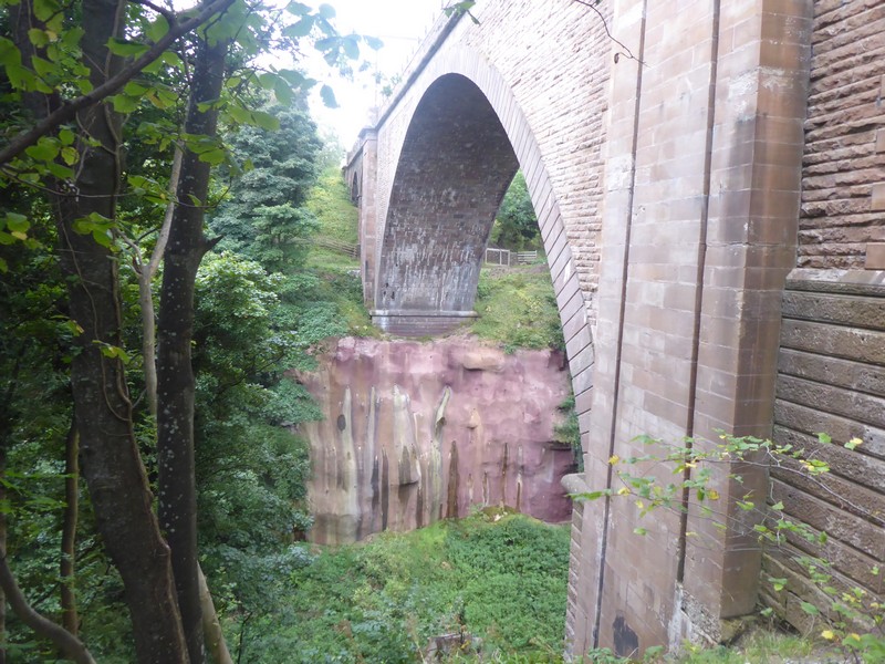
As I walked along the cliff top path I was joined, about 100 metres away by the busy A1 road and the main east Coast main rail line. When I reached Bilsdean Burn I had to lose all of my height and drop down to the shoreline, which was annoying. I carried along the shoreline for a while until I arrived at the huge Dunglass Dean ravine. The ravine is quite amazing and even though this was at the end of my walk and I was really tired this natural feature blew me away. Within a very small area there are four bridges, the closest to the sea is the current A1 dual carriageway bridge, then comes the old A1 bridge from 1932, then the railway viaduct and finally the bridge that I crossed over, probably the old coast road bridge. I walked underneath the first three bridges and picked up the Southern Upland Way. It was very difficult to get a photo that gave the depth and scale of the ravine, especially with the amount of summer foliage still around. After crossing the bridge I passed from East Lothian into the Scottish Borders region, my last in Scotland. All that was next required was a short walk into Cockburnspath.
A tiring day, but the legs were ok and I now looked forward to my final walk in Scotland.


NB: I also publish all my Scottish Blog entries on the excellent Scottish Hills website, I use the same narrative, but larger photos and a few extra ones. They can be found here:
http://www.scottishhills.com/html/modules.php?name=Forums&file=viewtopic&t=25137
Distance today = 26 miles
Total distance = 6,283 miles
