
My final trip on my coastal walk. Yes the time had come to complete the final two days of walking; that would see me arrive at an hotel car park at Sandbanks, bringing an end to one of the most prolonged and rewarding challenges of my life. But before I could complete the final days walk, there was the little matter of walking the 20 miles between Lymington and Christchurch.
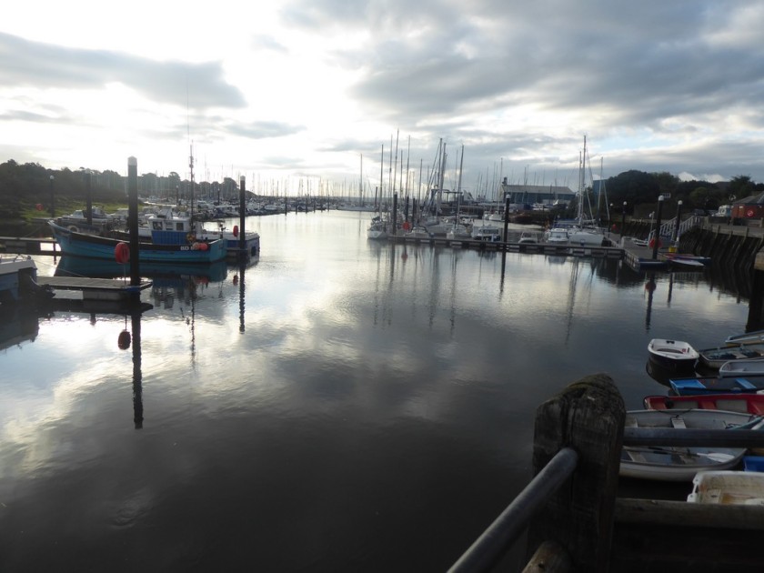
I left Shropshire very early and drove down to Christchurch Railway Station, here I parked in the station car park for £2, not bad for the whole day in this neck of the woods. I caught the 07:13 train to Brockenhurst where I changed for the train to Lymington, the final leg only took 6 minutes!
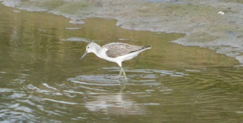
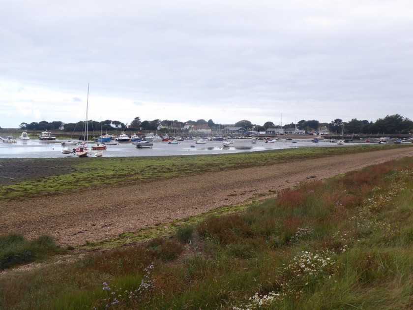
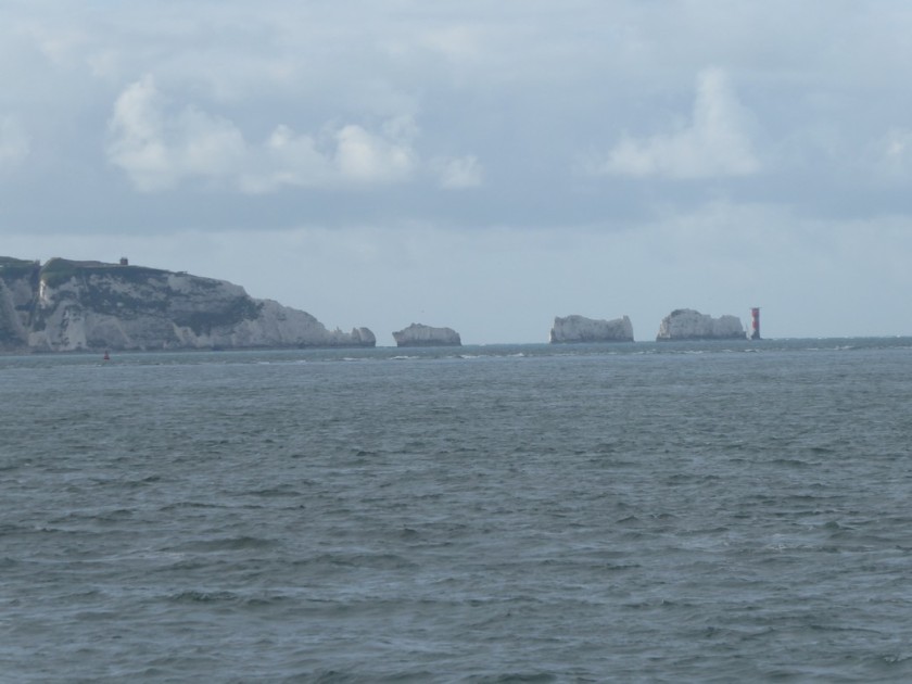
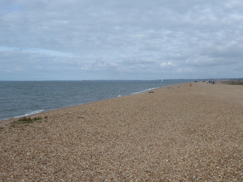
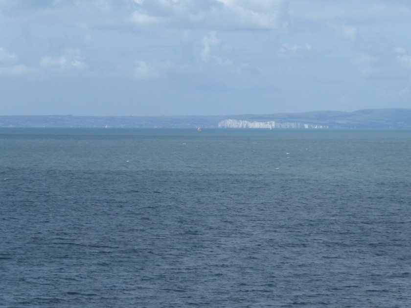
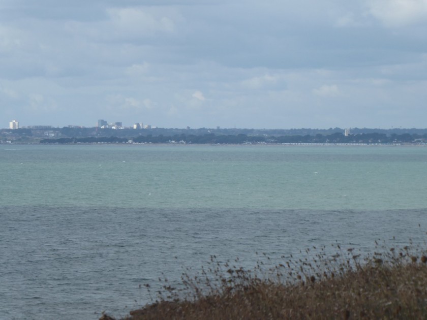
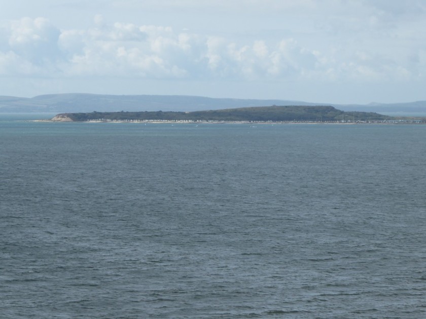
So on a lovely late summers day I set off on my penultimate coastal walk along the quay road and out of Lymington towards the shore of the Solent. I joined up with earthen sea banks containing lagoons as well as keeping out the sea. Walking around Oxey Marsh via a mixture of quiet lanes and footpaths, I could see the Solent had become much wider now and I had excellent views across to that iconic natural feature at the tip of the Isle of Wight – The Needles. I made my way across Keyhaven marshes and into the village of Keyhaven.
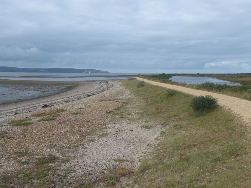
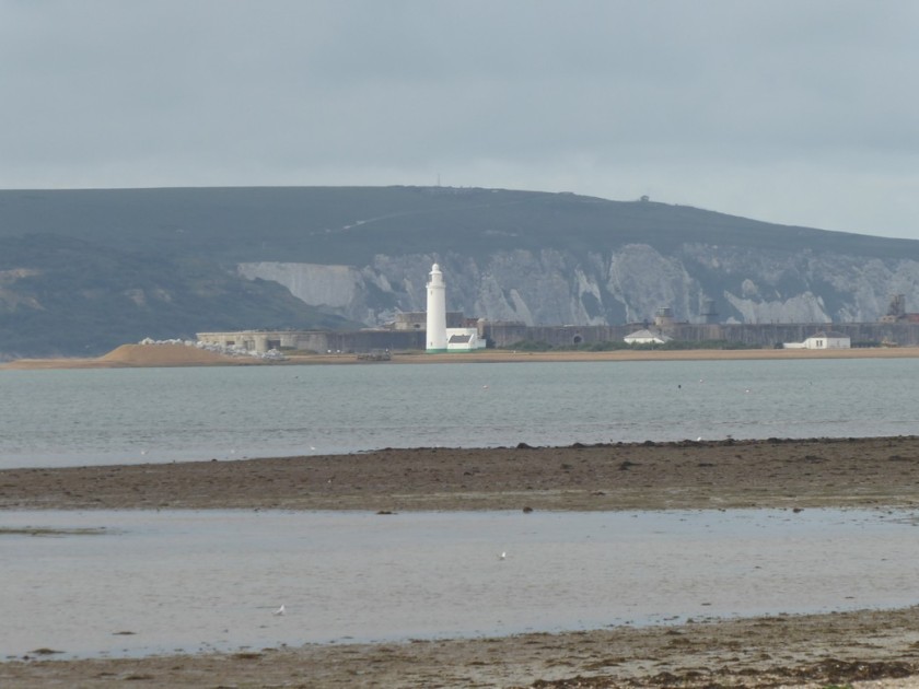
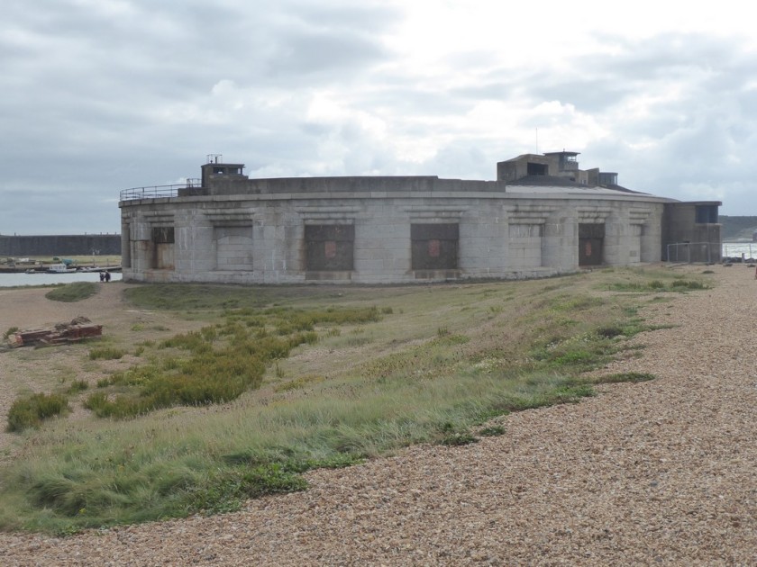
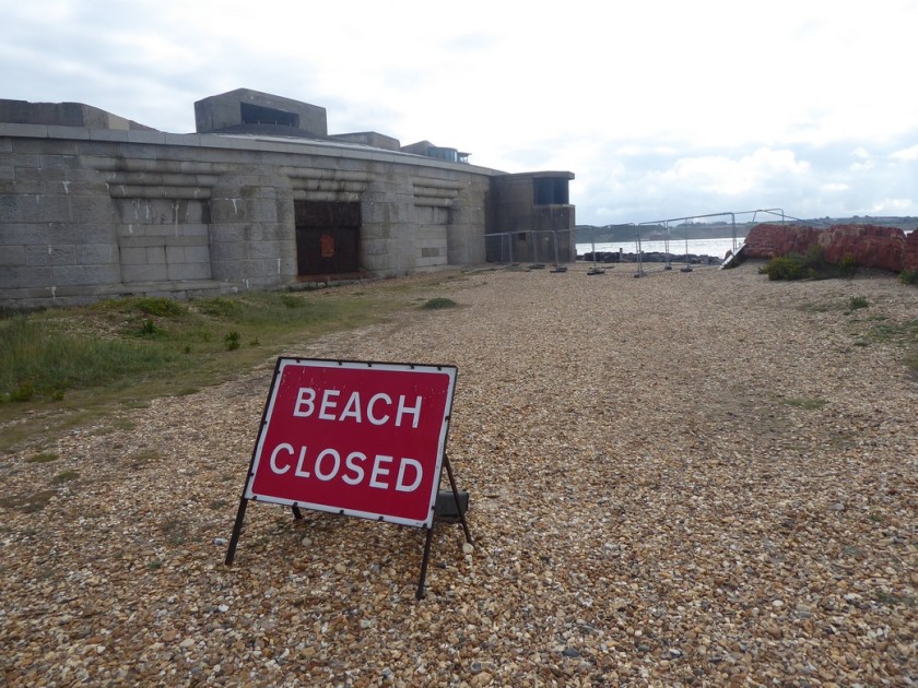
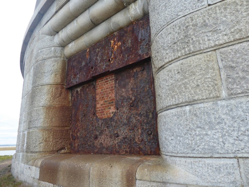
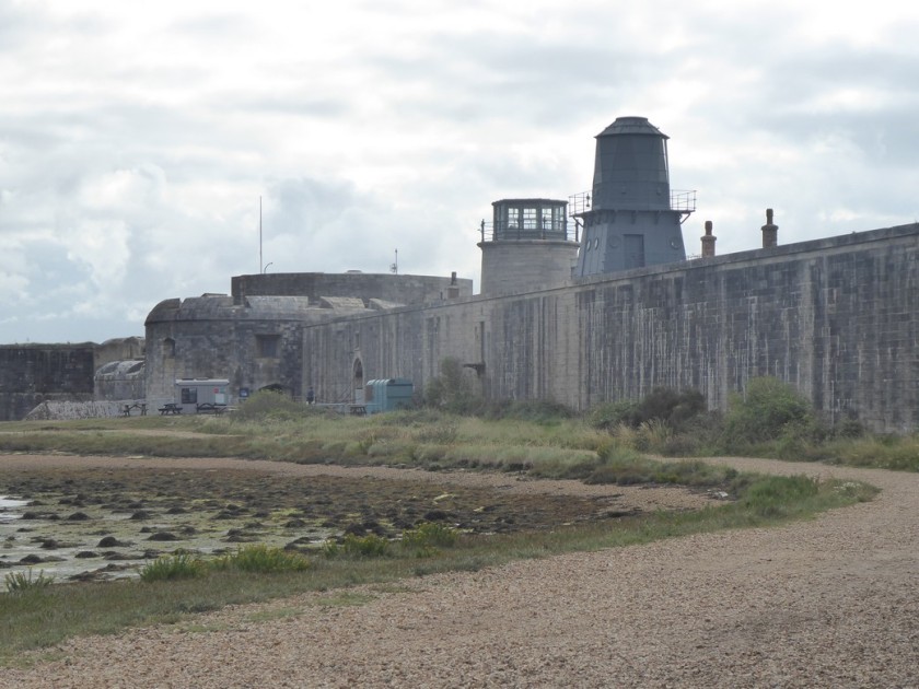
My eye was now drawn across a salty marsh to the lighthouse and large fort of Hurst Castle, situated on a shingle pit of land jutting out into the middle of The Solent. I remember crossing over to Yarmouth from Lymington some years ago and was intrigued to see buildings appearing to float on the water as I crossed over to the IOW. Unfortunately, this was going to have to be an ‘out-and-back’, which I deliberated before taking on. However, I had calculated today’s mileage and the additional 3 miles would not be an issue. I set of on the predominantly compacted shingle bar towards Hurst Castle. As I neared the castle, I could see a small ferry boat arriving from Keyhaven with a small group of passengers who entered the castle. My attention turned to a notice which informed me that the sea had damaged the foundations of the castle on the seaward side and consequently the beach access around the castle was fenced off. This meant I could not walk around the perimeter of the Castle. After examining one of the huge bricked up gun portals I turned about and set off westwards back along the shingle bar. Built between 1541 -44 by Henry VIII the castle had been used during most armed conflicts up to 1945, to guard the approaches to The Solent. Like most of the ancient monuments I have encountered on this walk, I rarely go inside. This is down to the fact that I am on a long walk and that means conserving my legs. However, I have noted a number of places I would like to return to explore further and Hurst Castle will be one of them.
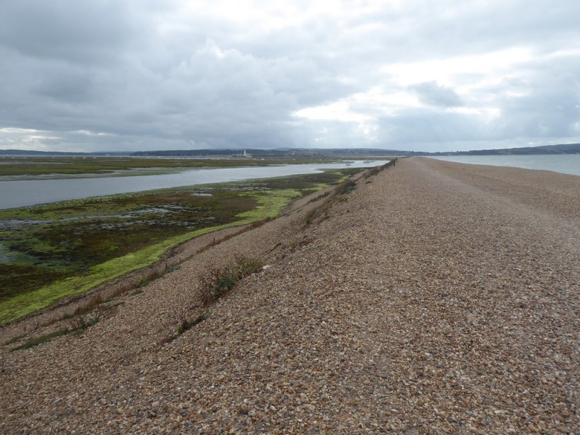
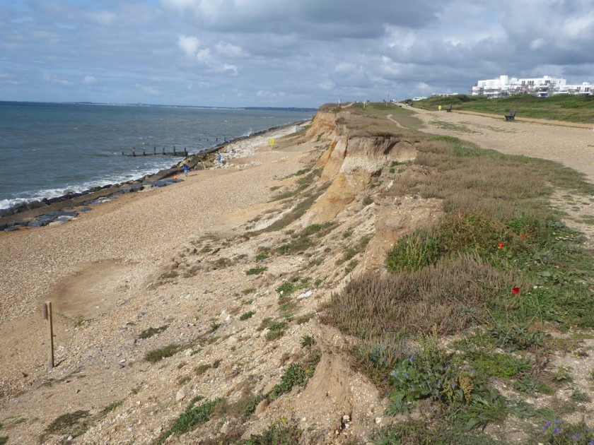
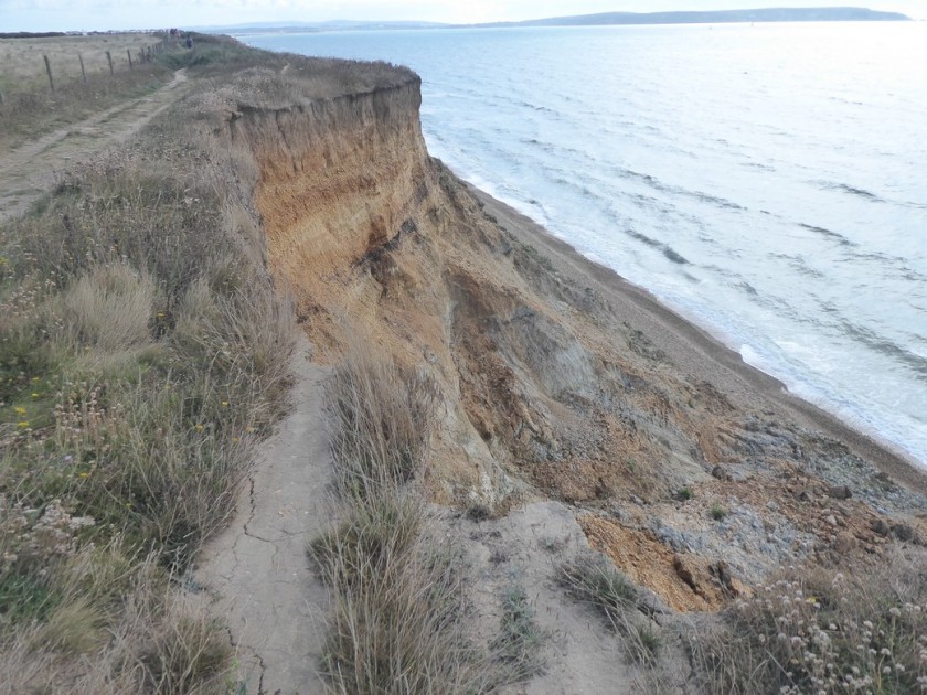
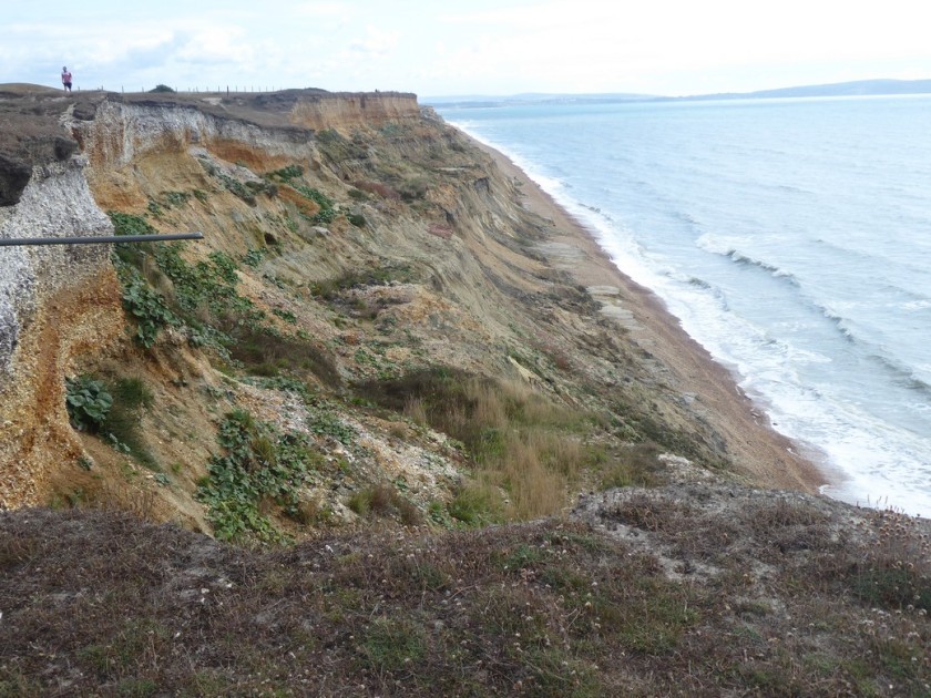
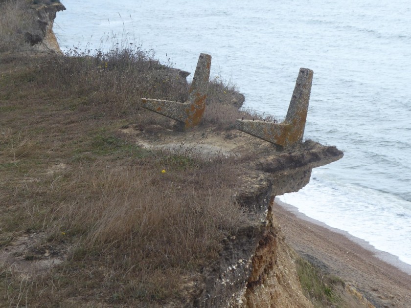
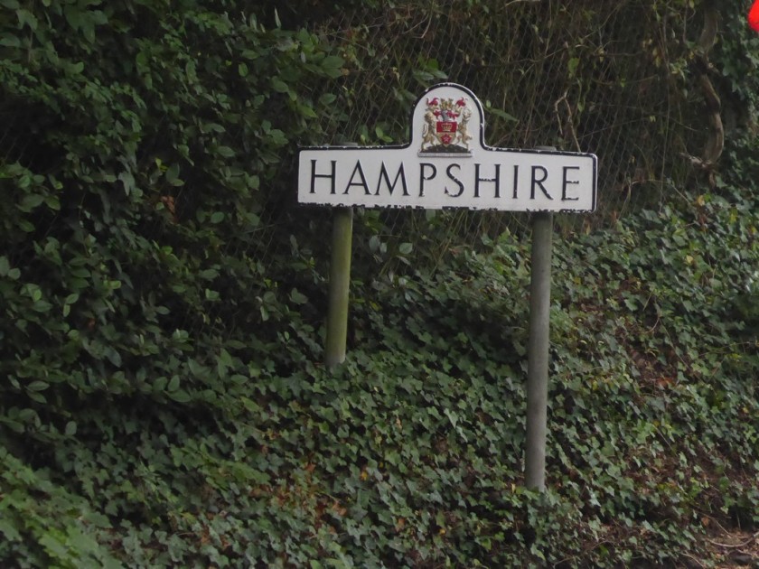
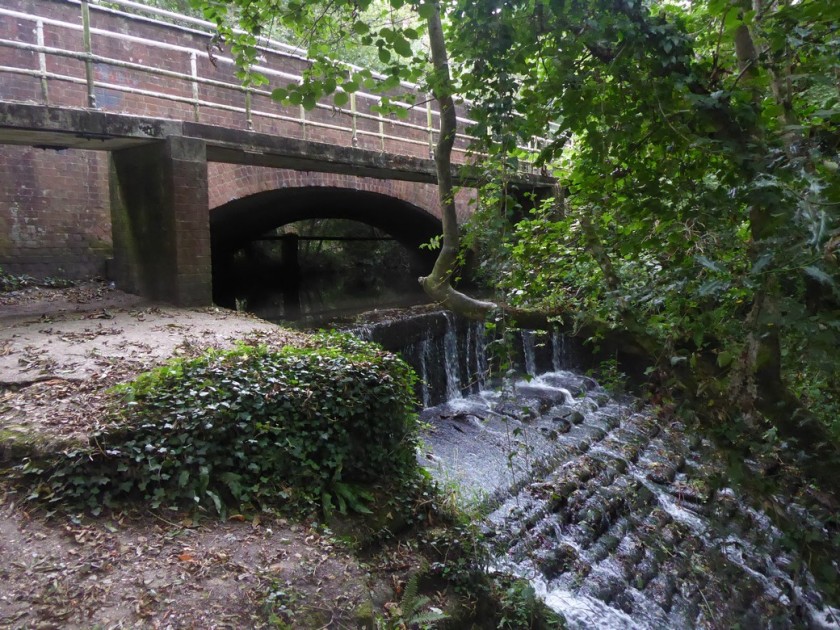
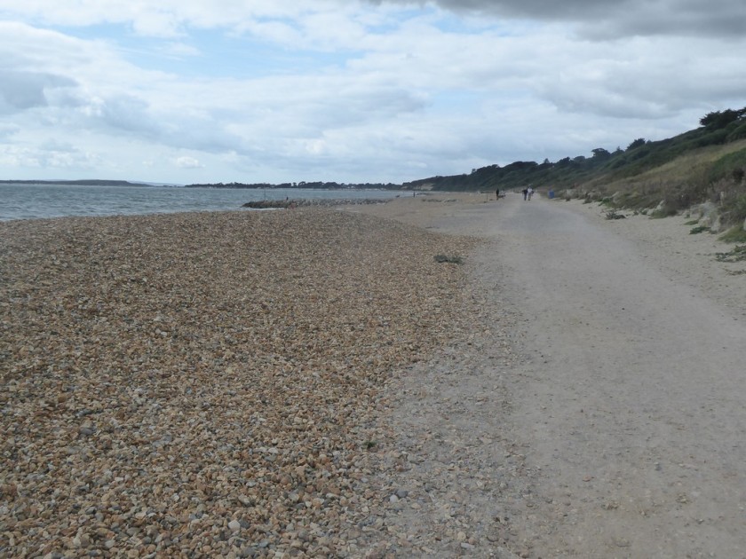
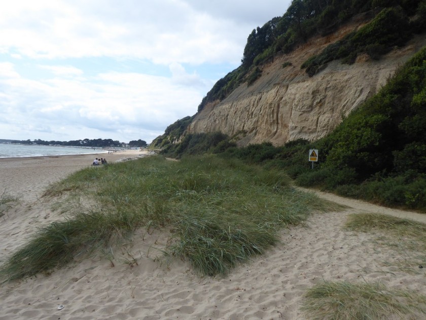
I’m now heading westwards again again the fast eroding cliff-top between Milford and Barton on Sea. Signs warn that the footpath has become a permissive footpath as the cliff-face retreats each year. The strata is a collection of soft sands and clays called the Barton Beds from the Eocene era. At the edge of Barton-on-Sea my way is blocked by the high fence of a holiday camp. Looking down the cliff face for a possible route along the shoreline would have meant committing to the beach further back from where I had walked. With a high tide flowing and numerous recent slumping and mudflows it would not have been a sensible route to follow. So I followed the footpath inland for about half a mile to join the A337. I walked over a road bridge which crosses over the Walkford Brook which marks the boundary between Hampshire and Dorset. I follow the brook through a steep-sided ravine called Chewton Bunny back to the shoreline. The word “Bunny” is used in the New Forest area to describe a narrow valley or wooded ravine; further down the coast in Bournemouth they are called “Chines”.
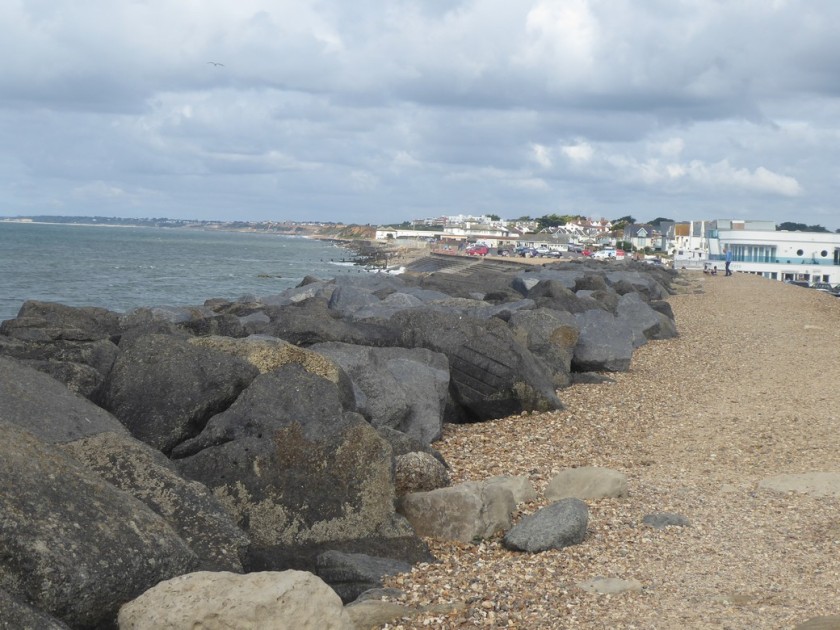

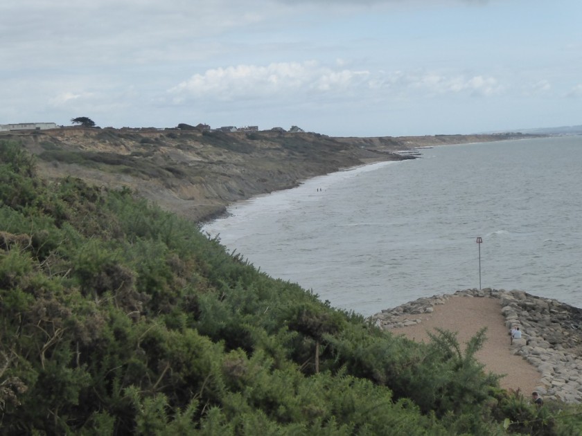
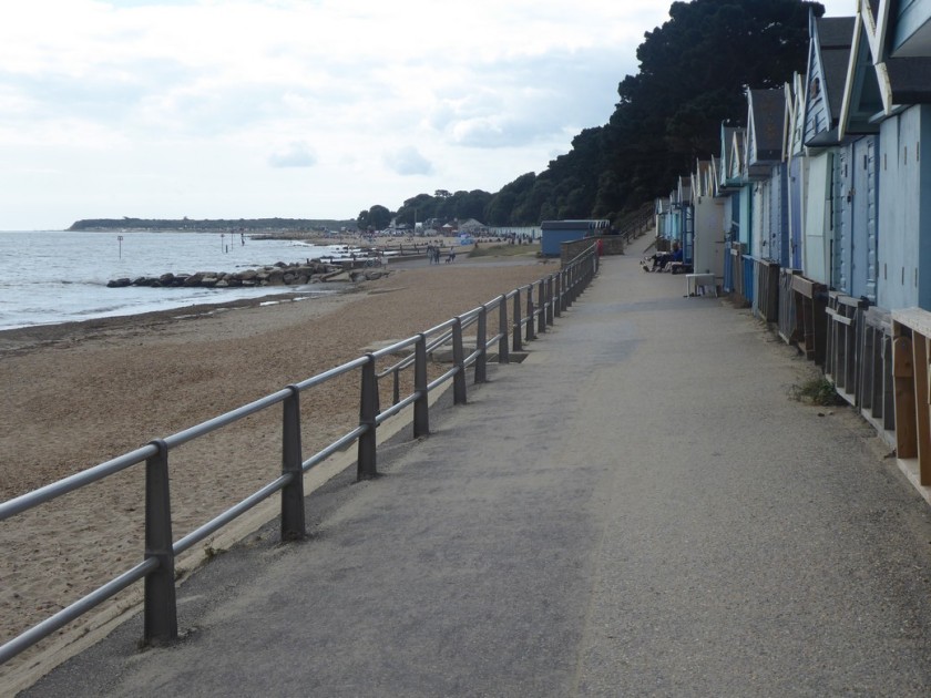
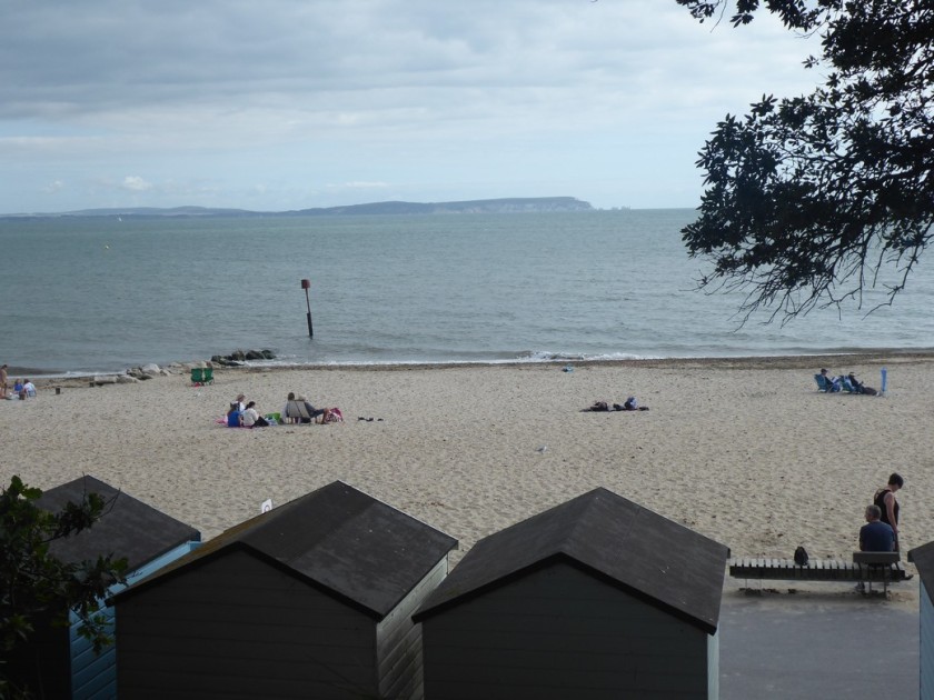
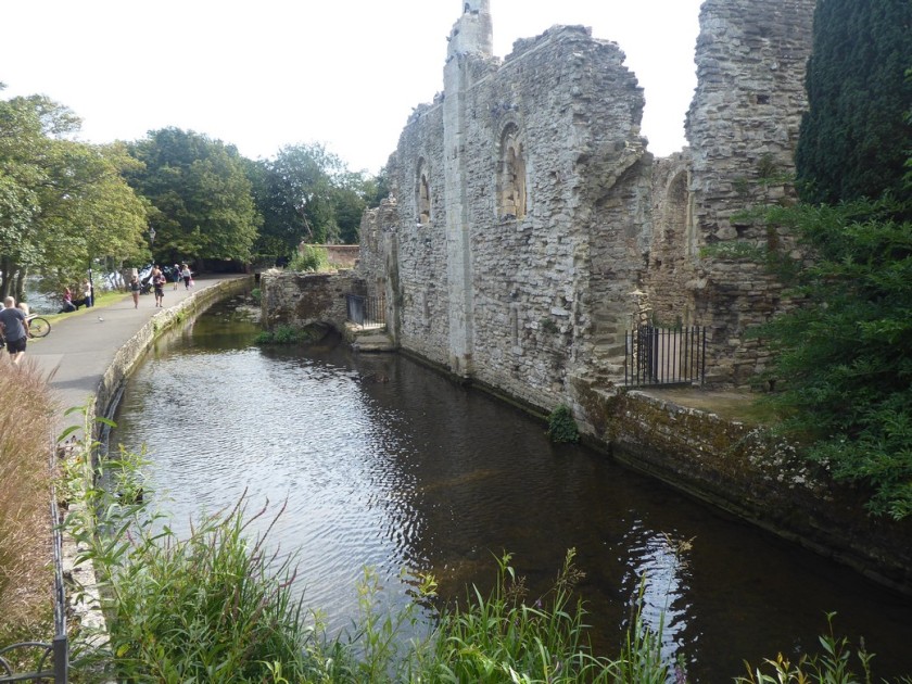
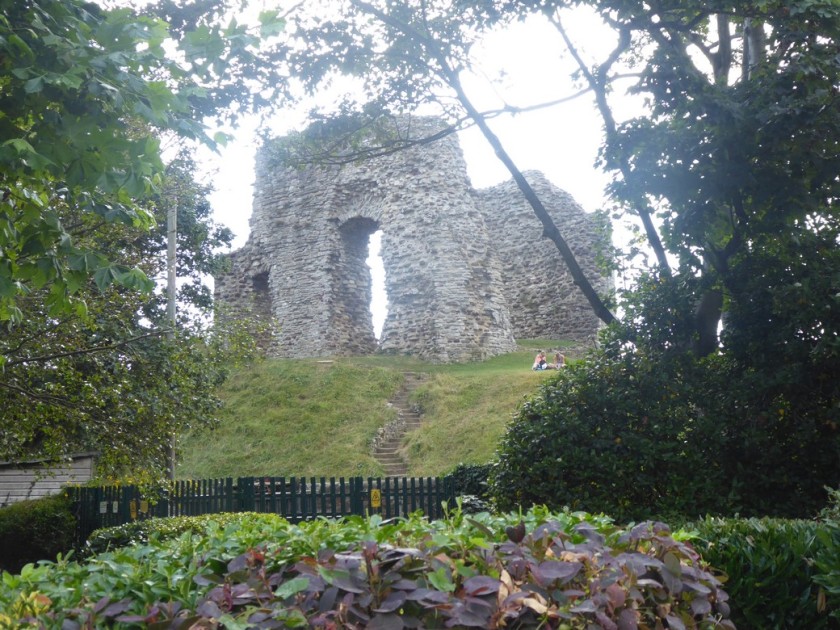
I am now back on a compacted sandy path running at the back of increasing sandy beaches, which become more populated as I approach the mouth of Christchurch Harbour. Above me, out of sight, is the Highcliffe Estate which the Solent Way path made an inland detour to visit. When I reached the harbour entrance I had to begin the inland detour around the harbour itself. This meant walking through the residential streets of Christchurch and crossing the River Avon, into the town centre. I took a few minutes to examine the Constables House and the ruins of Christchurch Castle, before walking through the busy streets to the railway station and my car.
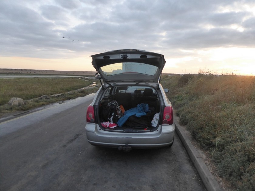
I drove the 5 miles to the Premier Inn, which should have been my bed for the night. I had never stayed at a Premier Inn before, and neither would that night! While checking in the receptionist said she had no knowledge of my booking. It turned that I had not checked the date of my stay when I booked the reservation……..I was exactly one month early! Oh bug%$r! With the hotel fully booked and no other accommodation available,I called my sister in Swanage, who offered me a bed for the night. However, it was a long way there and back from Christchurch. I then remembered a car park near Keyhaven, which I had walked past that morning and seen many mobile homes parked for the night….so I headed there. With two bottles of beer to hand and plenty of food,I was certainly not going to let this oversight delay my final days walk. I drove to the car park near Keyhaven and settled down for the night, with a bottle of Shephard’s Neame 1689 strong beer in hand.
Distance today = 20 miles
Total distance = 6,665.5 miles

Glad to see you finished in style with an overnight kip in the car! Congratulations on an amazing journey and achievement. I look forward to following in your footsteps.
LikeLike
Hi Tony, thanks…………………………………………..but still one final day to go, which I need to start writing up now. BTW, that 1689 ale was lovely.
LikeLike
Well I’m going to guess you have finished now (other than one to write up) so congratulations and hope the last day was a good one. The beach at Hurst Castle was actually already closed before the castle wall collapsed. I believe English Heritage knew it was in a bad way and planned to repair, but left it too late hence the collapse. I’m glad you made it out there anyway I find it a lovely spot.
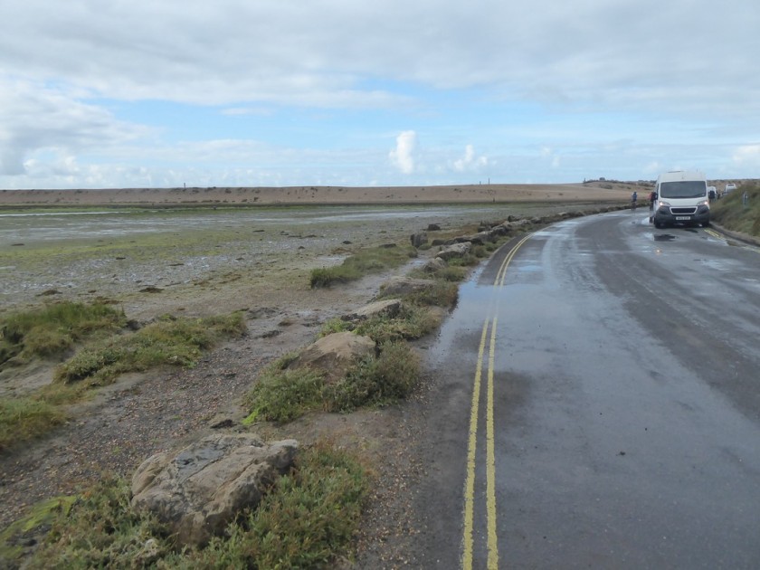
It’s a shame about that caravan site blocking access near Christchurch. It used to be they had a sign saying it was for residents only, but although trespassing there was nothing to stop you walking through and in summer, when it was busy, I doubt anyone knows if you are staying there or not. Then put up big CCTV cameras and now there is a “key code pad” on the (now much higher gates) so it’s not really possible anymore. I think it was the right choice to divert on the road. If the tide is out and conditions good it is possible to get around on the beach but the land there is very prone to erosion so there are often “mud slides” onto the beach that make it impossible. Earlier in the year some people got stuck in the mud there. The police tried to assist and also got themselves stuck, so they all had to be rescued!
Highcliff castle is quite nice but not that much to see inside (only half a dozen rooms have bene restored and open to the public). I suspect you did this on a Saturday however and it is almost always closed then for weddings.
I hope you didn’t have any problems with where you parked overnight. That road is subject to tidal flooding, so it does flood at high tide (I’ve seen it myself), so it’s not a good idea to park there for a long period if you haven’t checked the tide times.
LikeLike
Hi Jon, I made a point of reading your blog about this section and yes there is a keycode entry, otherwise I would walked through. Saying that Chewton Bunny was really nice.
I was very aware of the tide where i parked, earlier that morning I had walked along that stretch of road and could see the extent of the tide. I also asked other people, who said the tide height was falling. I did have a look outside about 2 am and it was barely on the road.
Like you say just the write up now
LikeLike
Wow, can’t believe you’ve almost finished (and will really have finished by now). What a good section to save till the end and congratulations on a fantastic achievement, Shame about the Premier Inn booking – of all the cheapish chain hotels, they are my favourite- and hope you managed to sleep reasonably well in your car.
LikeLike
Many congratulations, Alan. What a great achievement. Can’t wait to hear what the next challenge is. Take care – Dave & Chrissie
LikeLike
Congratulations on completing the circuit (I guess you have by now)! ….. what about a second lap? 😄
Well done Alan. For me the end is so far away that it seems impossible, but whenever someone completes it, it motivates the rest of us to keep going!
I guess that seat faces inland so the sitters don’t have to see their fall down the cliff.
LikeLike