360. Christchurch to Sandbanks – Poole – The Finish!

So it had finally come down to this, a relatively simple jaunt down to the beach and a walk along the promenade of a popular seaside destination in order to complete my walk around the coastline of Great Britain. By some fluke, my numbered trip report I noted was to be 360! Quite coincidental and not planned, but appropriate, although I had done more than 360 reports due to the extra reports required in my Use of Ferries decision.

I had spent the night in the back of the car due to a mix up of my hotel booking. I had slept in the back of the car many times before, especially in the north of Scotland. However, then I had a pillow, a sleeping mat and a four season sleeping bag – I had none of these and it was incredibly uncomfortable and cold as I tried to get some sleep. I had very little sleep as I continually checked my watch for the time and reverted to watching the Lighthouse out on the Hurst Castle Spit, do 4 flashes then wait 6 seconds before repeating the sequence – it passed the time for a while. I had set my alarm for 05:00 when I could at least begin to get ready and do the slow drive over towards Sandbanks.

With the dawn just beginning to arrive I set off down the winding road into Milford -on-Sea and then on to the residential area of Sandbanks, where good street parking was available. After parking up I walked for about 100m to the bus stop and caught the 07:16 #50 bus to Bournemouth Station. Here I caught the 08:03 train to Christchurch. By 08:40 I was heading out from Christchurch Station along the B3059 towards Southbourne on the outskirts of Bournemouth. After crossing the River Stour, I followed its banks eastwards to where it emptied into Christchurch Harbour. I was heading towards Hengistbury Head on a thin sliver of land that enclosed Christchurch Harbour. At just 36m high  Warren Hill stands out from the surrounding terrain and after making a circular walk around the old pools, previously used for the extraction of Ironstone I head towards its top. From Warren Hill I have have superb viewpoint looking across to the Purbeck Hills above Swanage and along the long sweeping coastline of Poole Bay and Sandbanks where my walk will end.
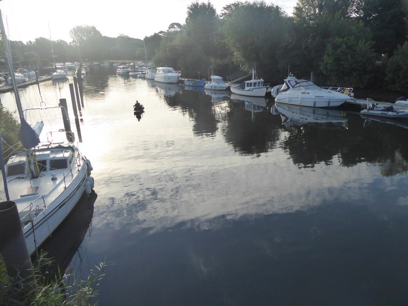
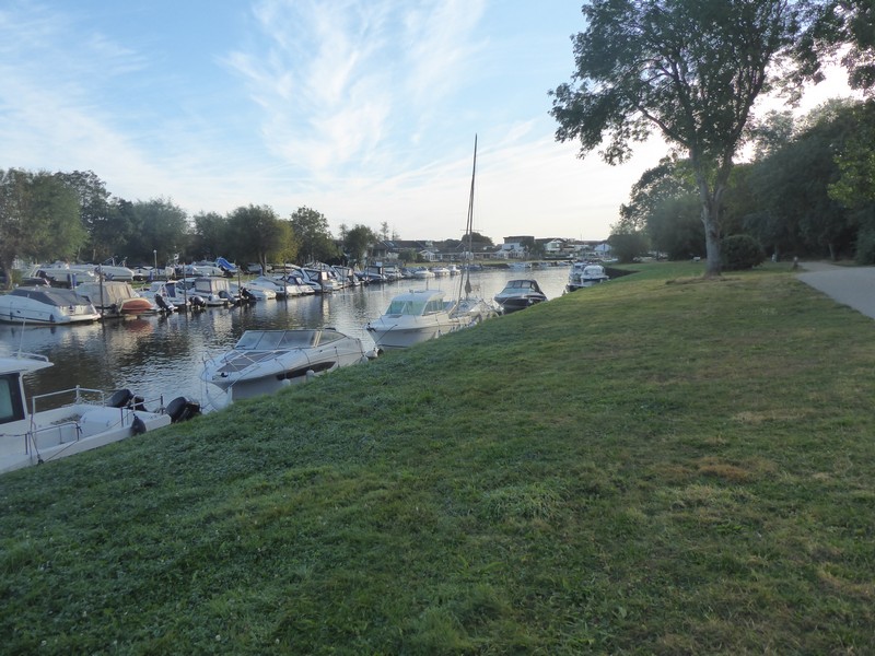
Early morning crossing over The River Stour at Christchurch
Walking along the banks of The River Stour
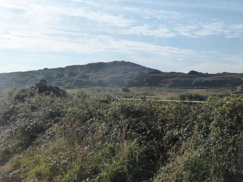
Heading for Warren Hill on Hengistbury Head
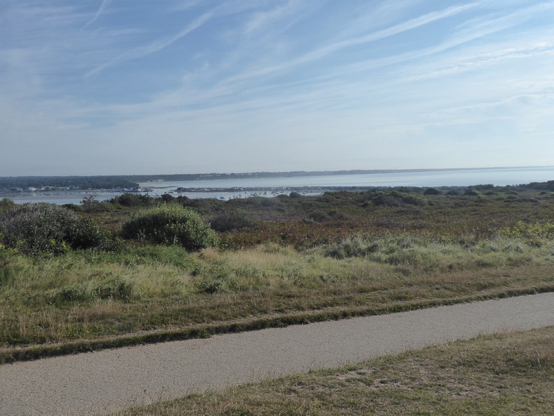
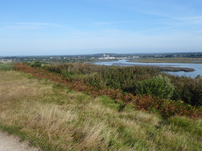
Looking across Christchurch Harbour to Mudeford and yesterdays walk
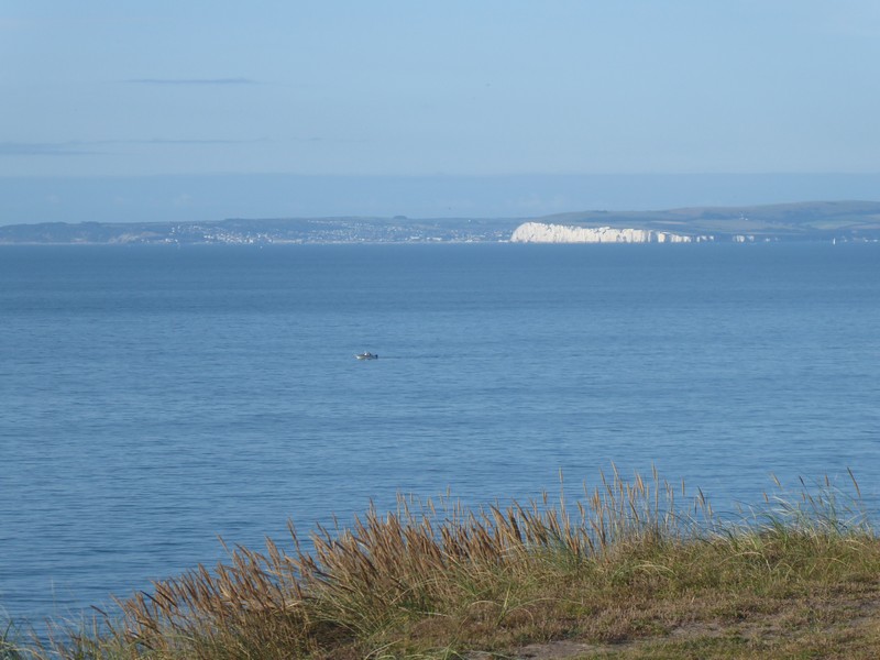
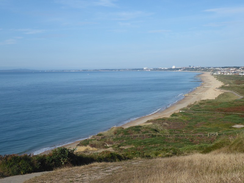
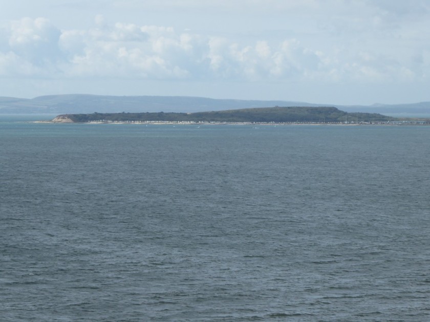
Looking across Poole Bay to Swanage and The Foreland
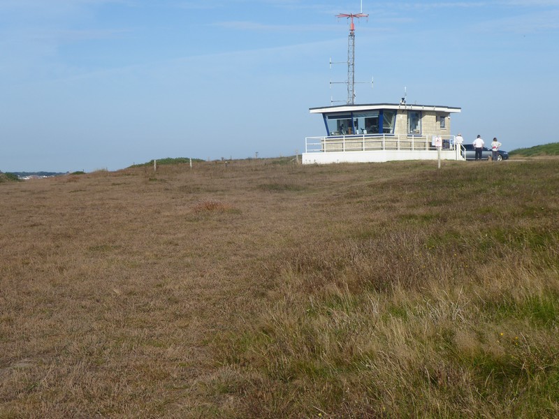
The Coastwatch lookout tower on Warren Hill
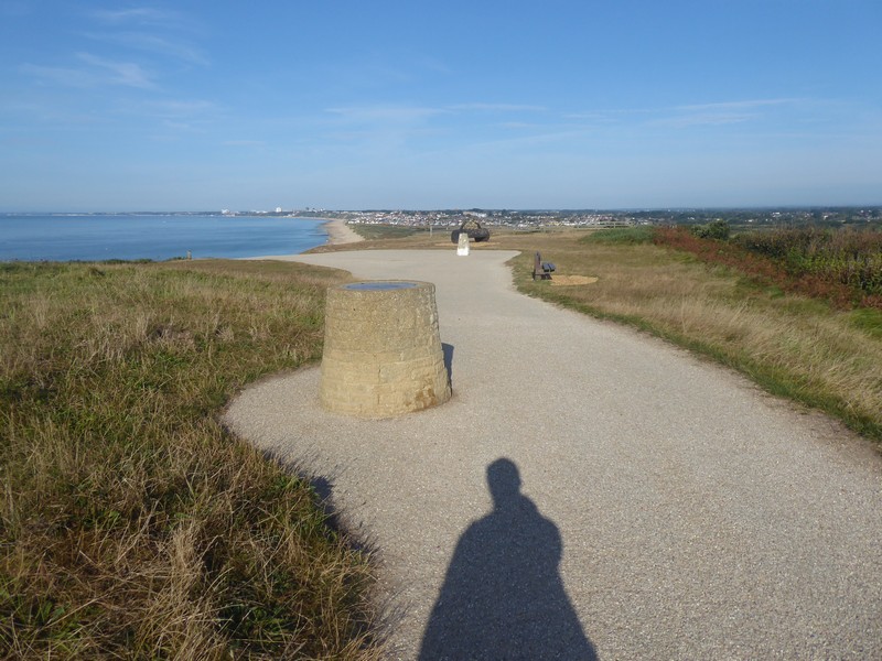
The trig point and toposcope on Warren Hill
Looking across to Christchurch
The route ahead and end of my walk along Poole Bay
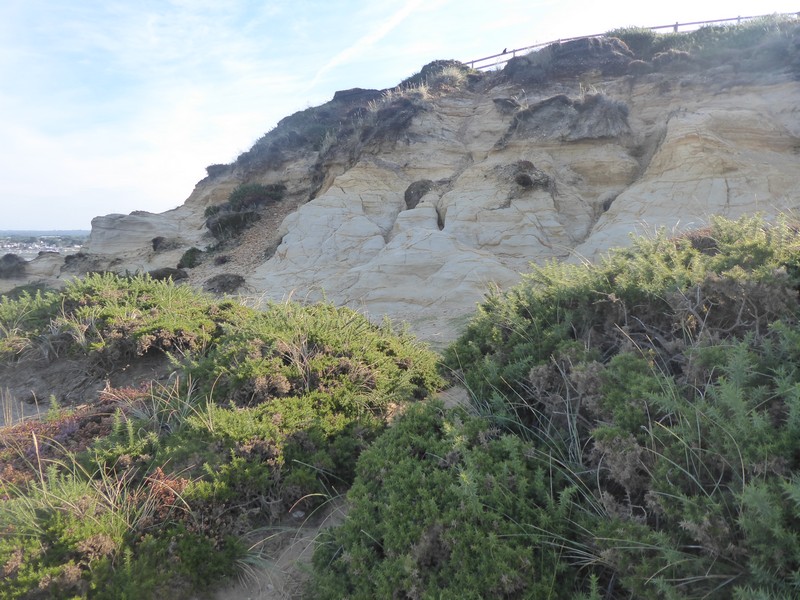
Sandstone outcrop on Warren Hill

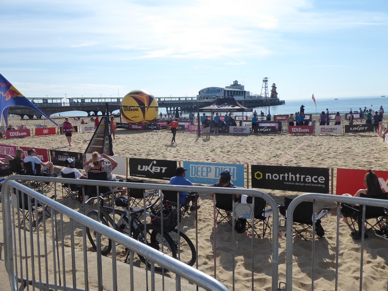
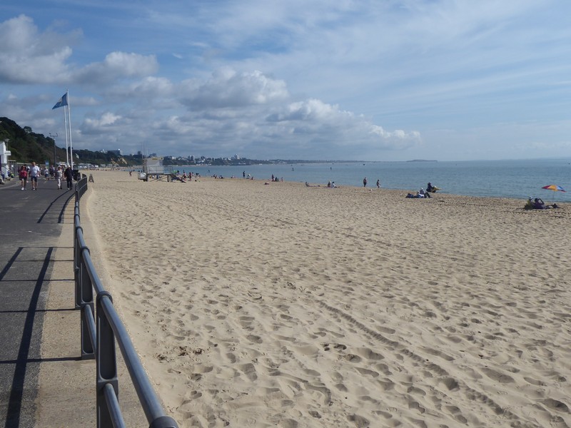
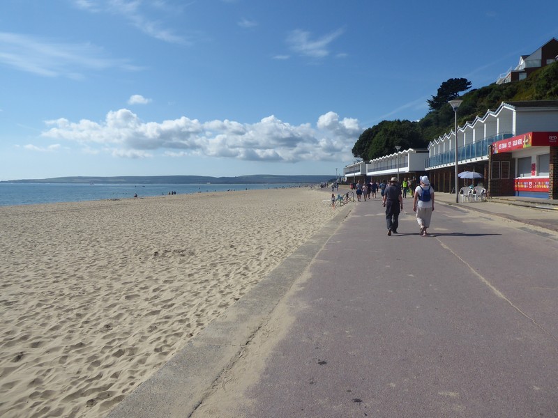
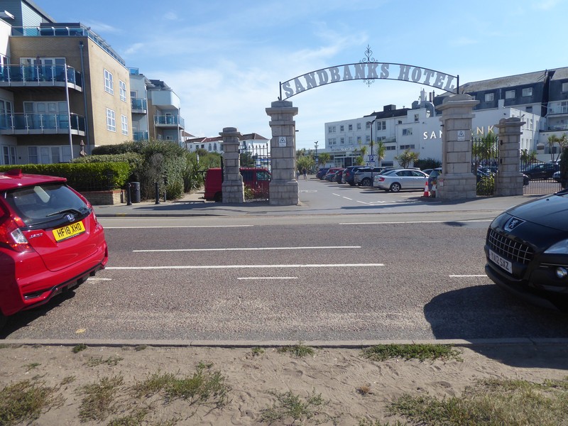
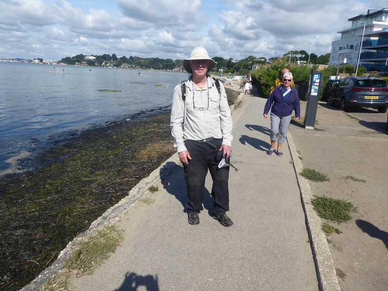
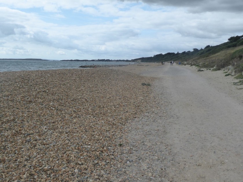
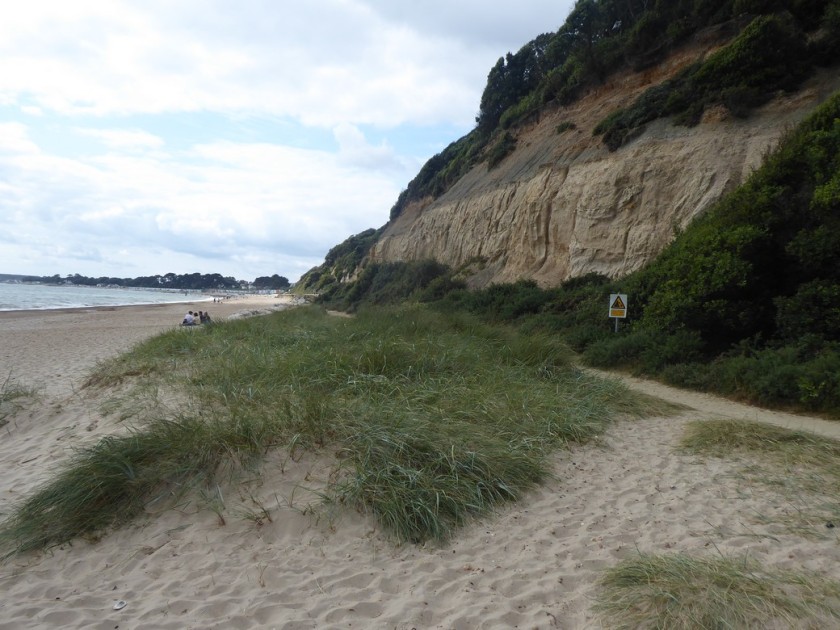
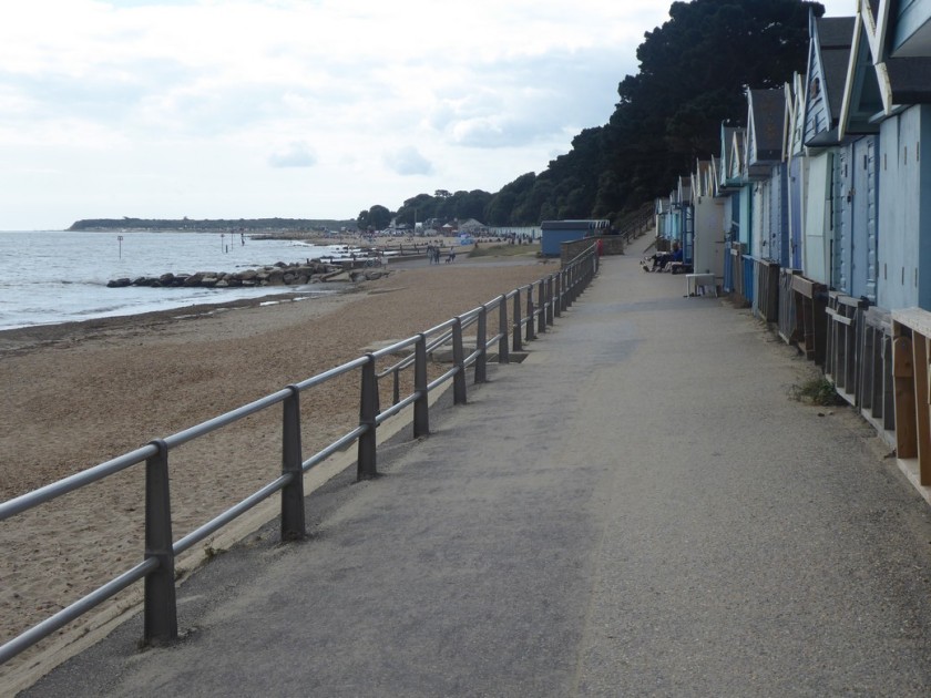
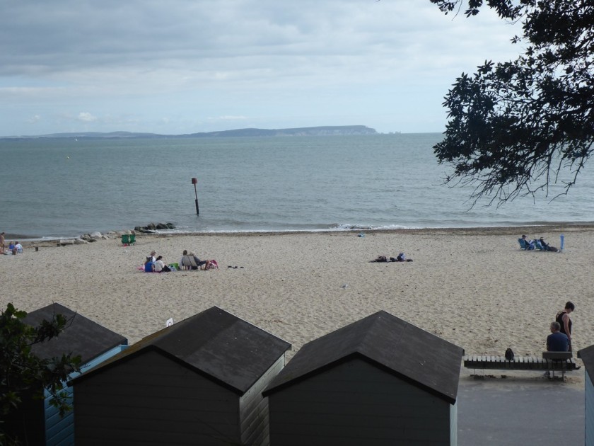
I drop down from Hengistbury Head and head towards the start of the promenade at Southbourne, which I will remain on until the finish. Its easy going and like many promenades up and down the country I have walke,  it makes for swift progress. I pass the first of two piers, the first being Boscombe, an unattractive concrete creation. Two kilometres on and I arrive Bournemouth Pier, more traditional and very busy. Loud music blares out from large speakers and a beach volleyball match is underway. This certainly seems to be the more popular part of Poole Bay. The end is in sight now and at 12:45 on 12th September 2021 I walk through the Sandbanks Hotel car park and cross over the B3369 to complete my walk around the coastline of Great Britain! I ask an elderly gentleman to take my photograph. No fanfare, just a slightly underwhelming feeling, but an inward warm satisfying feeling that I had linked up all those tiny footprints to complete a walk of 6678 miles. As in previous challenges like completing a National Trail, climbing all the Munro’s and Corbett’s, the moment for me is never euphoric, just fulfilling. I did contact Radio Shropshire last week to announce I would be completing the walk this weekend, but they never got back to me.
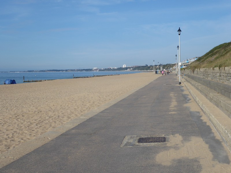
On the promenade at Southborne with Bournemouth in the distance
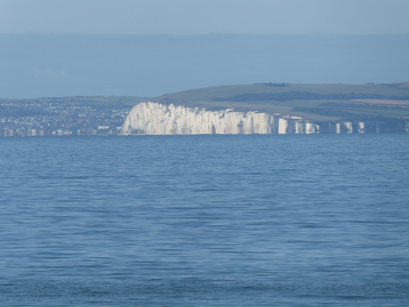
The impressive Chalk cliffs of The Foreland and Old Harrys Rocks with Swanage visible
Quiet sandy beaches at Southborne
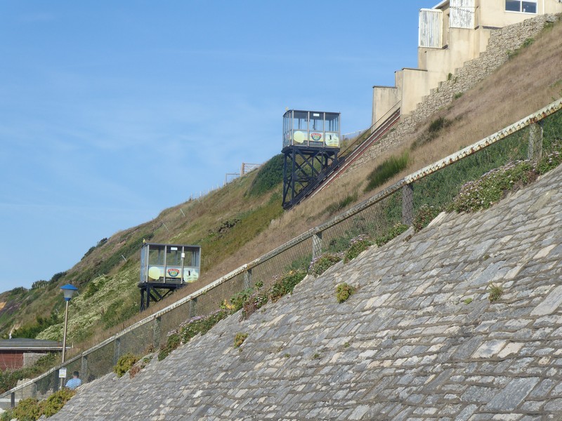
One of the three cliff railways I observed
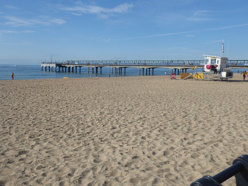
Boscombe Pier…hmmmmmm?
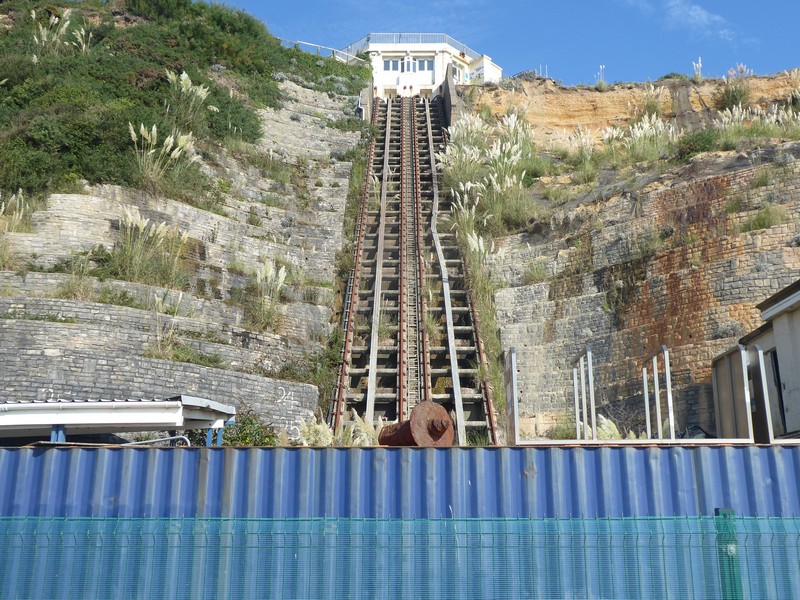
I think this cliff railway is no longer in use
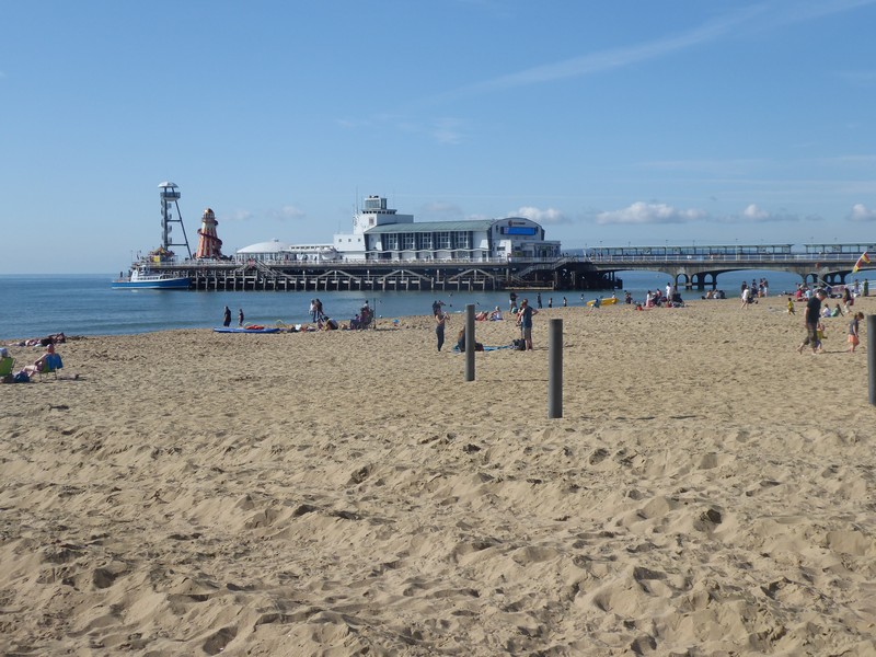
Bournemouth Pier
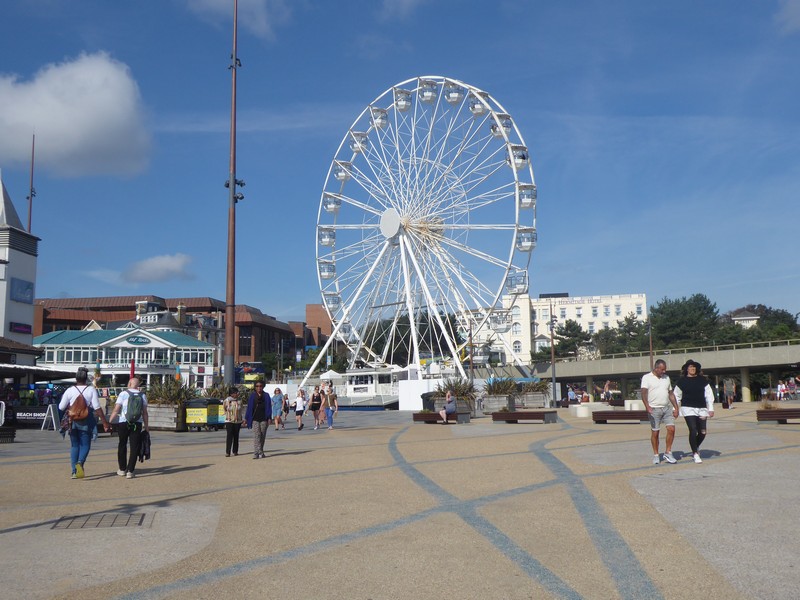
Ferris wheel in Bournemouth
Beach volleyball match underway
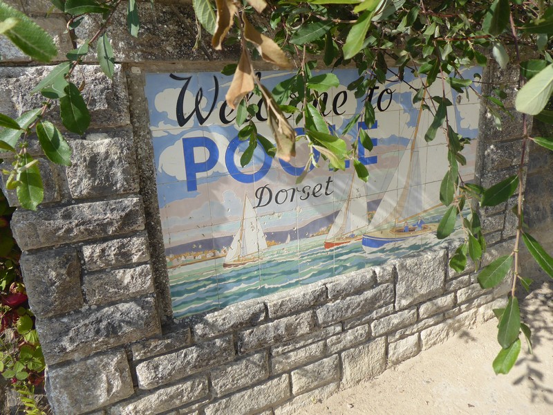
Entering Poole
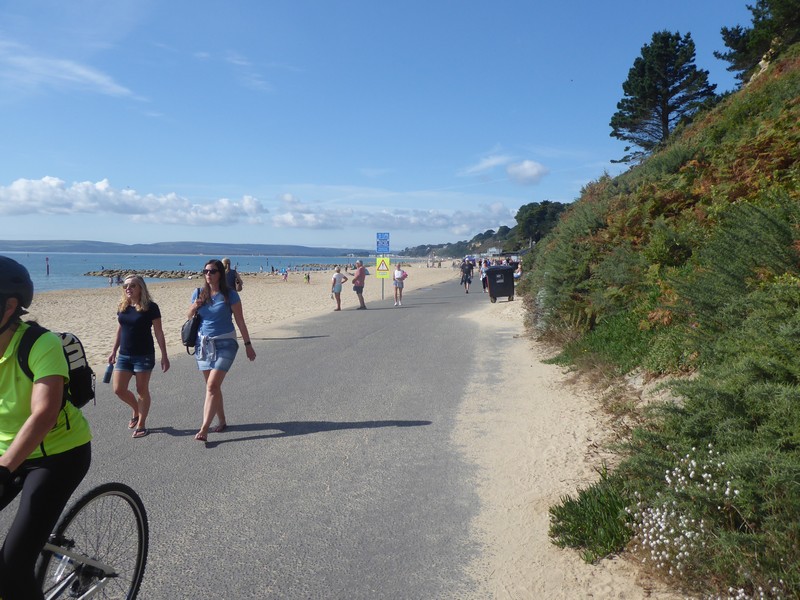
Heading westwards towards Sandbanks
Looking back eastwards with Hengistbury Head in the far distance
The last 300m!!
And so it here it ends!!
Me

So I have a couple of thoughts that I would like to share:

  • A big thanks to all those people, particularly my wife who have supported me in this endeavour. To all those “Coasters” who are in the process of walking the coast including Ruth Livingstone, Tony Urwin, Jon Combe, Helpful Mammal, Paul Hills and James Wearmouth – thanks for your advice and good luck and a safe completion. To my friends on Scottish Hills, where I posted all of my Scottish Trip reports.
  • A popular and common question is “What is your favourite part of the Coast”. To which I answer that I don’t have a favourite coastal walk, because, besides the scenery there are so many other factors like mind set, health, injury, weather, company, bad incidents (like some idiot drivers) which all affect how I feel. I also do not mind walking through industrial areas. There were a few standout experiences which I did enjoy namely walking across Morecambe Bay with the tide out, walking around Cape Wrath, walking through 16 miles through residential streets from Woolwich to Gravesend and my final walk in Scotland.
  • Another question is “what are planning on doing next?”. Well there are about 6 reports along the Pembrokeshire Coastal Path which I have yet to write up. When I did this section many years ago, I had a pretty poor digital camera, So I may do these sections again. I am also keen to complete the Hadrian’s Wall National Trail.
  • I will probably make a few further posts on this blog to update the position on the Bowls and Platters which I am still preparing and finishing. A number have already been sold. So more of that in the future.

Meanwhile a final thanks to all my subscribers.

regards

Alan Palin


Distance today = 12.5 miles
Total distance = 6,678 miles


359. Lymington to Christchurch

My final trip on my coastal walk. Yes the time had come to complete the final two days of walking; that would see me arrive at an hotel car park at Sandbanks, bringing an end to one of the most prolonged and rewarding challenges of my life. But before I could complete the final days walk, there was the little matter of walking the 20 miles between Lymington and Christchurch.
I left Shropshire very early and drove down to Christchurch Railway Station, here I parked in the station car park for £2, not bad for the whole day in this neck of the woods. I caught the 07:13 train to Brockenhurst where I changed for the train to Lymington, the final leg only took 6 minutes!

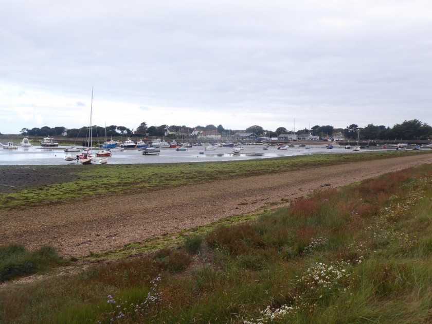
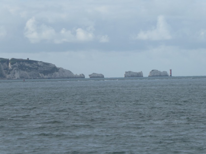
So on a lovely late summers day I set off on my penultimate coastal walk along the quay road and out of Lymington towards the shore of the Solent. I joined up with earthen sea banks containing lagoons as well as keeping out the sea. Walking around Oxey Marsh via a mixture of quiet lanes and footpaths, I could see the Solent had become much wider now and I had excellent views across to that iconic natural feature at the tip of the Isle of Wight – The Needles. I made my way across Keyhaven marshes and into the village of Keyhaven.

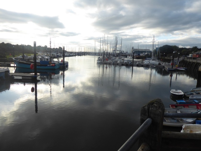
Early morning at the marina in Lymington
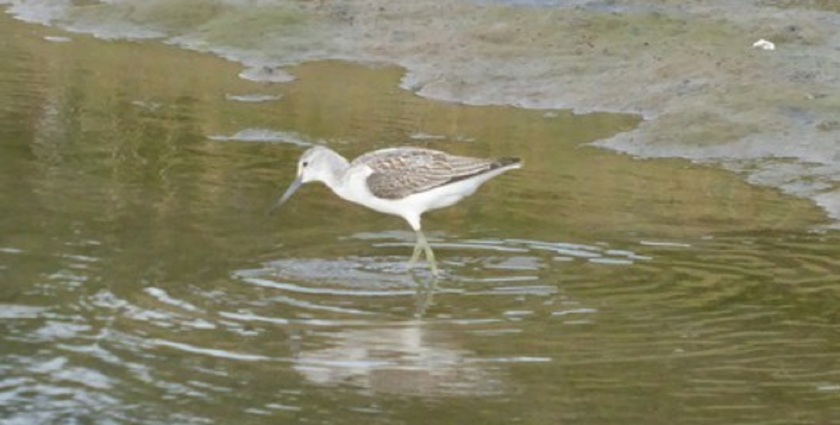
A Greenshank on Oxey Marsh
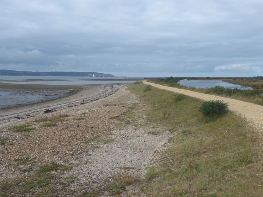
Heading westwards from Oxey Marsh
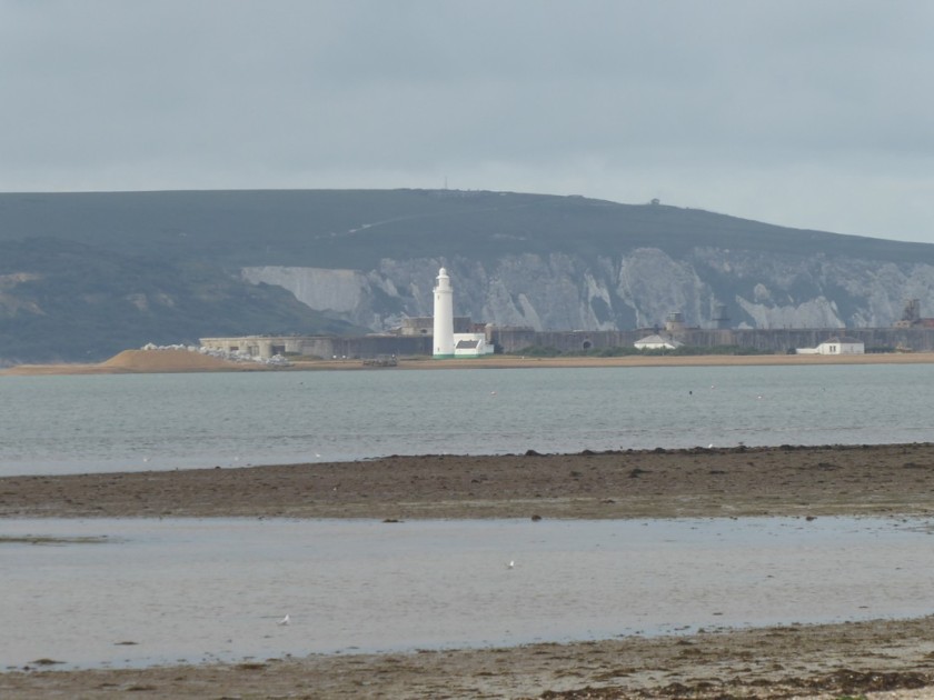
Zoomed shot across to Hurst Castle with West High Down on the IOW in the distance
Approaching Keyhaven

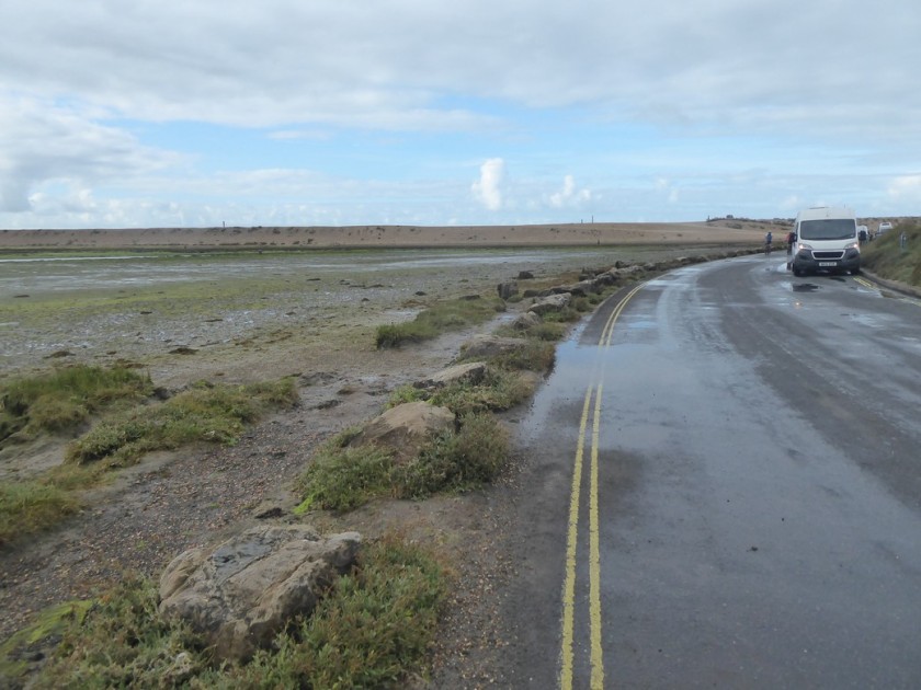
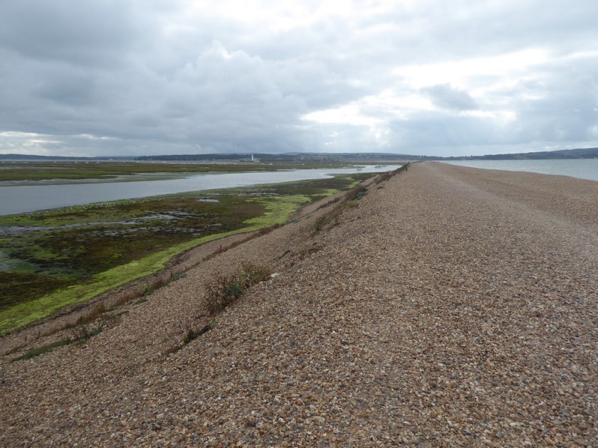
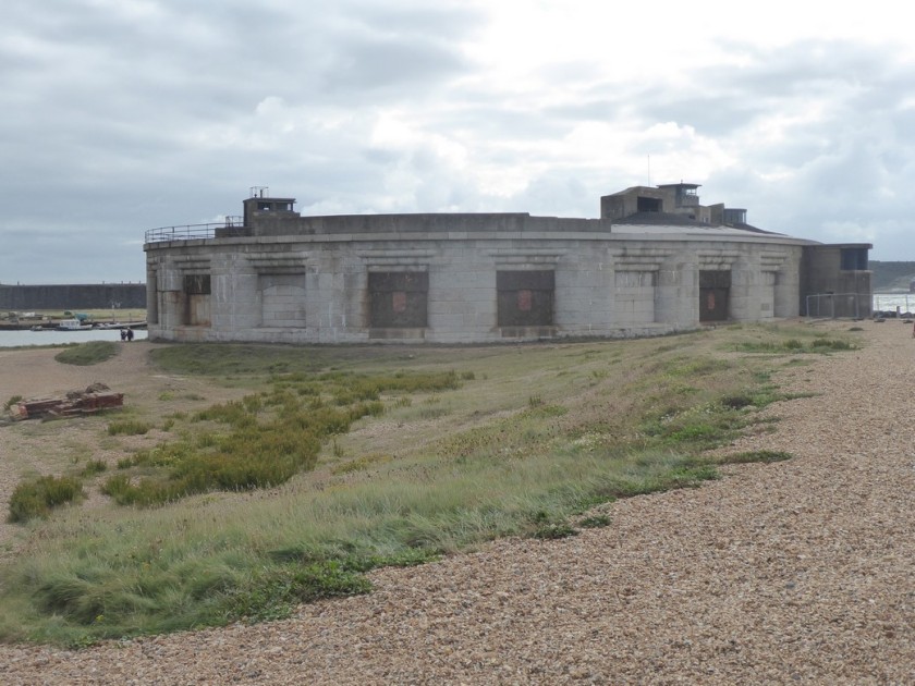
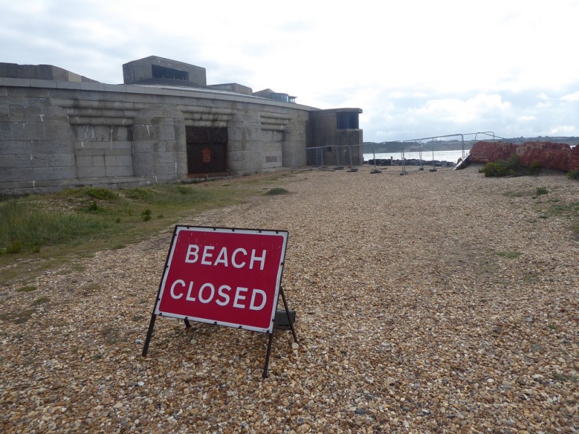
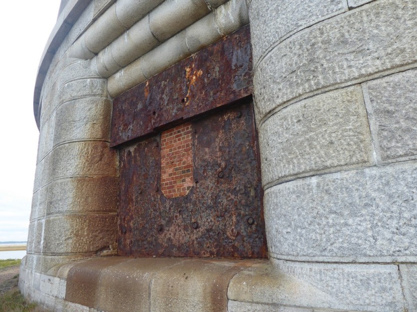
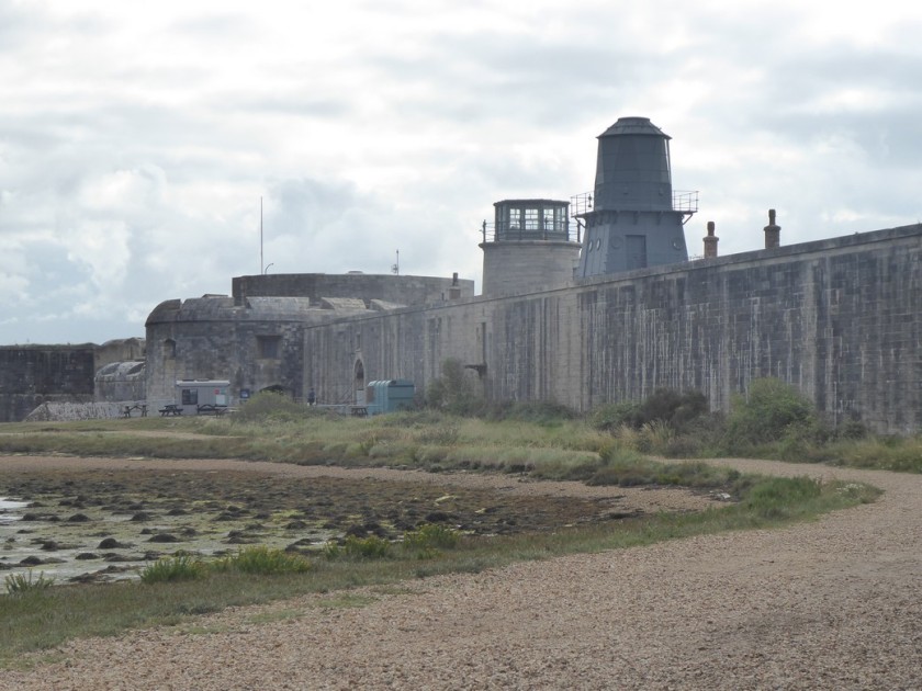
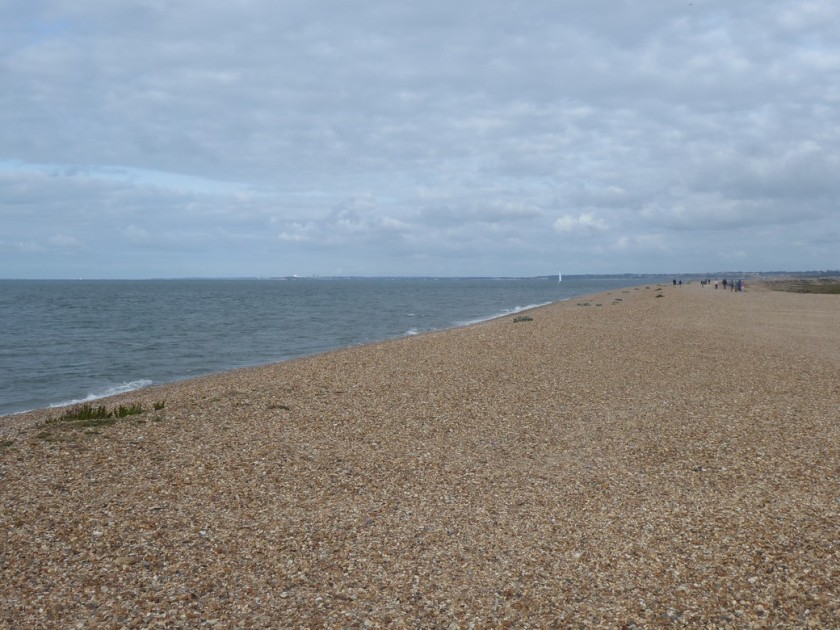
My eye was now drawn across a salty marsh to the lighthouse and large fort of Hurst Castle, situated on a shingle pit of land jutting out into the middle of The Solent. I remember crossing over to Yarmouth from Lymington some years ago and was intrigued to see buildings appearing to float on the water as I crossed over to the IOW. Unfortunately, this was going to have to be an ‘out-and-back’, which I deliberated before taking on. However, I had calculated today’s mileage and the additional 3 miles would not be an issue. I set of on the predominantly compacted shingle bar towards Hurst Castle. As I neared the castle, I could see a small ferry boat arriving from Keyhaven with a small group of passengers who entered the castle. My attention turned to a notice which informed me that the sea had damaged the foundations of the castle on the seaward side and consequently the beach access around the castle was fenced off. This meant I could not walk around the perimeter of the Castle. After examining one of the huge bricked up gun portals I turned about and set off westwards back along the shingle bar. Built between 1541 -44 by Henry VIII the castle had been used during most armed conflicts up to 1945, to guard the approaches to The Solent. Like most of the ancient monuments I have encountered on this walk, I rarely go inside. This is down to the fact that I am on a long walk and that means conserving my legs. However, I have noted a number of places I would like to return to explore further and Hurst Castle will be one of them.
Approaching the spit bar out to Hurst Castle
Heading along compacted shingle towards Hurst Castle
The Needles
Approaching Hurst Castle
No access
These gun portals are massive – about 20 feet high!
Hurst Castle
Heading westwards from Hurst Castle

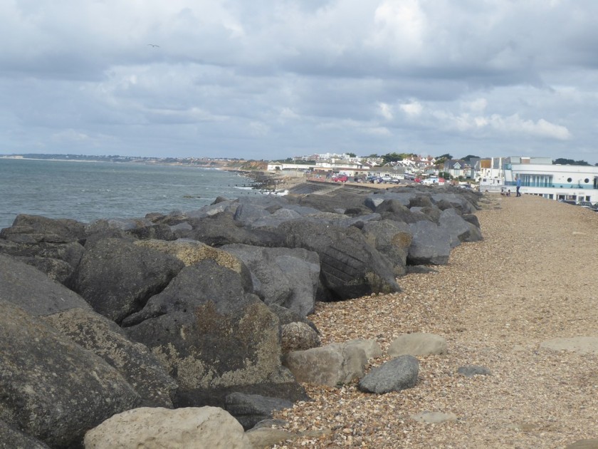
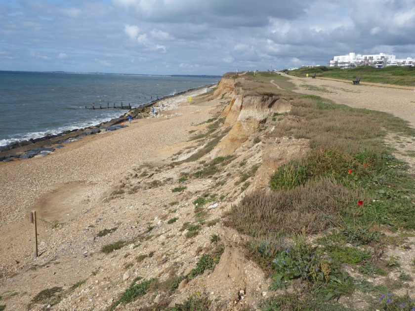
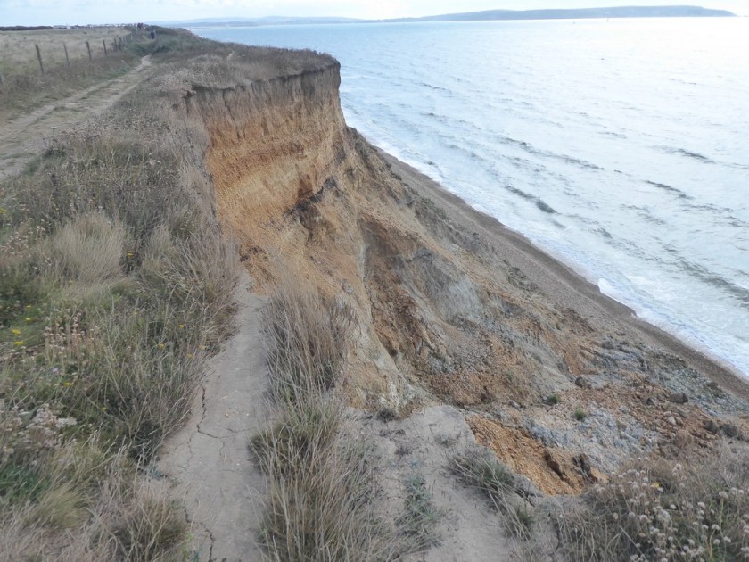
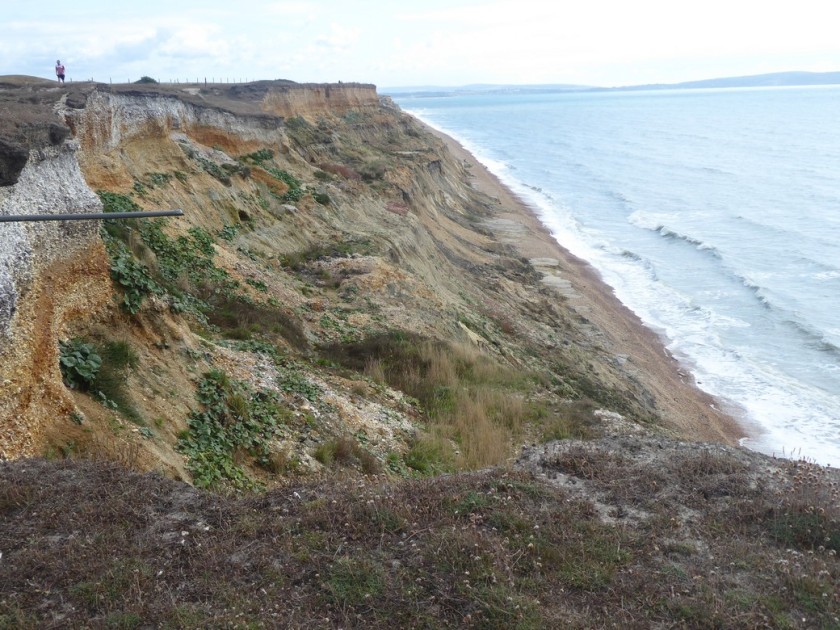
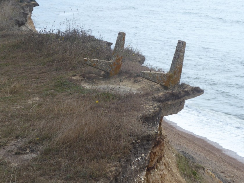
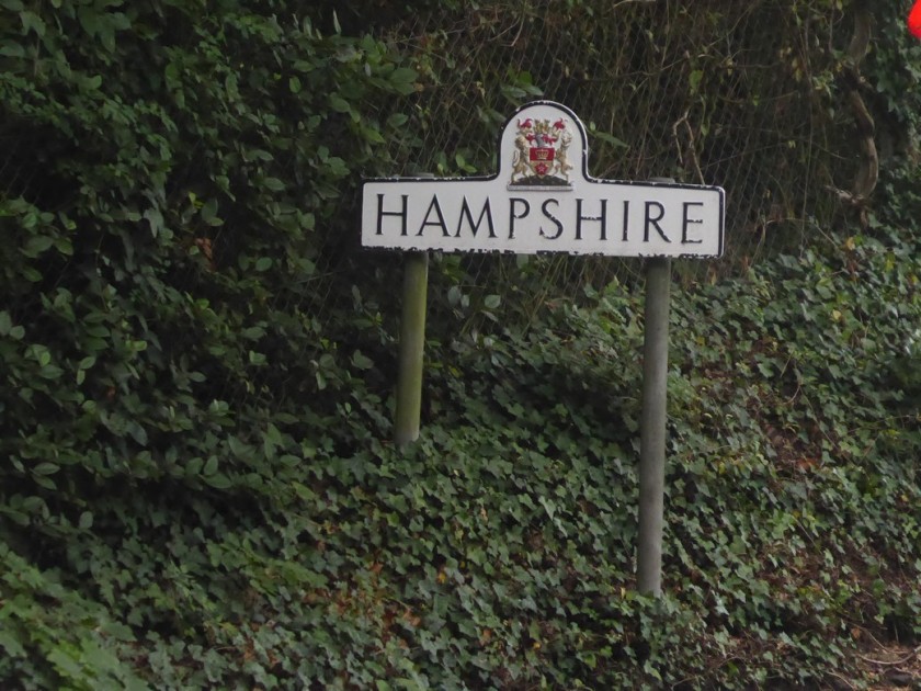
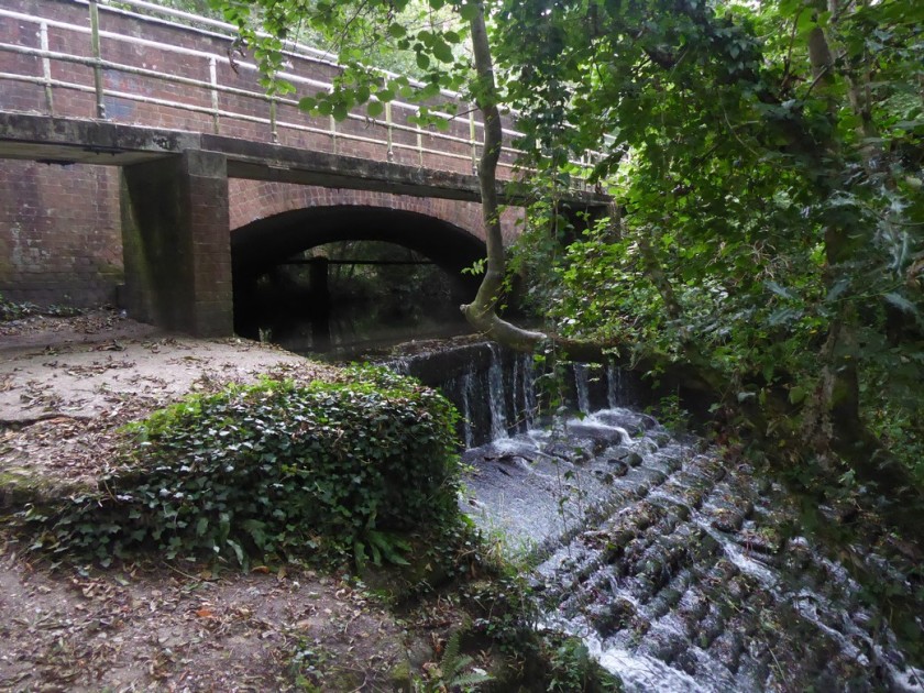
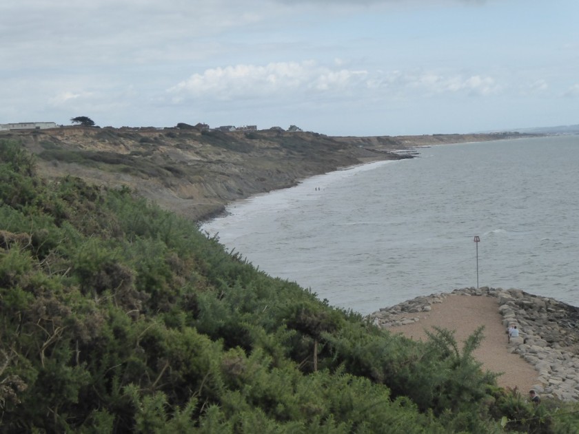
I’m now heading westwards again again the fast eroding cliff-top between Milford and Barton on Sea. Signs warn that the footpath has become a permissive footpath as the cliff-face retreats each year. The strata is a collection of soft sands and clays called the Barton Beds from the Eocene era. At the edge of Barton-on-Sea my way is blocked by the high fence of a holiday camp. Looking down the cliff face for a possible route along the shoreline would have meant committing to the beach further back from where I had walked. With a high tide flowing and numerous recent slumping and mudflows it would not have been a sensible route to follow. So I followed the footpath inland for about half a mile to join the A337. I walked over a road bridge which crosses over the Walkford Brook which marks the boundary between Hampshire and Dorset. I follow the brook through a steep-sided ravine called Chewton Bunny back to the shoreline. The word “Bunny” is used in the New Forest area to describe a narrow valley or wooded ravine; further down the coast in Bournemouth they are called “Chines”.

Approaching Milford-on-Sea
Heading through Milford-on-Sea
Cliff erosion near Barton-on-Sea
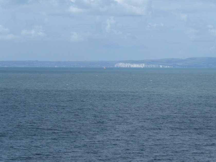
Zoom shot across Poole Bay towards Swanage and The Foreland
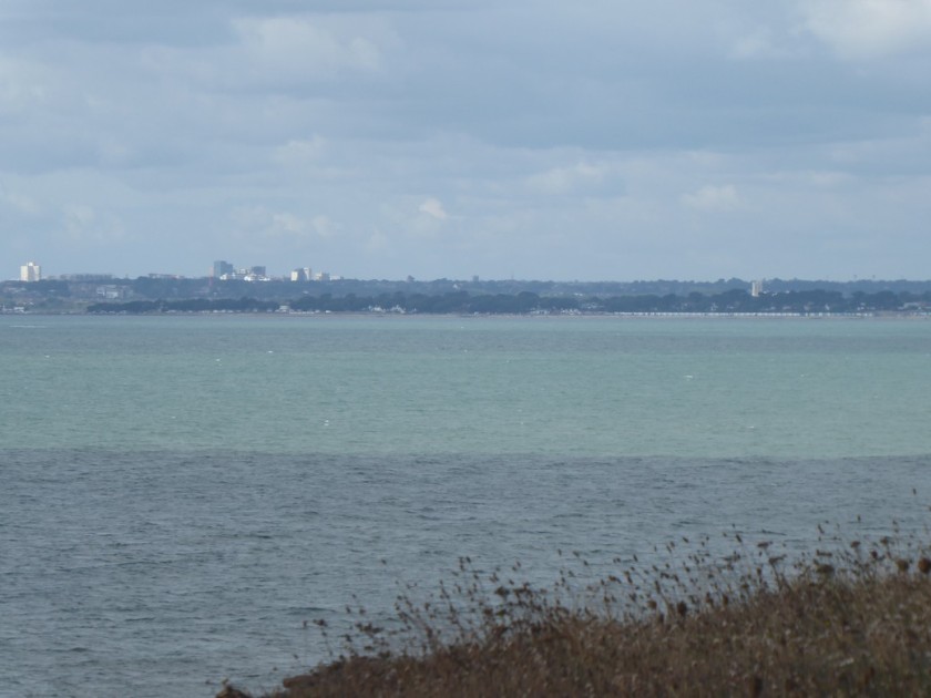
Zoomed shot across Christchurch Bay towards Christchurch and Bournemouth beyond
Heading along Hordle Cliff
Looking back on Hordle Cliff
The last vestiges? Although I am puzzled why a seat would face inland?
Looking across Christchurch Bay to Hengistbury Head on tomorrows walk
Goodbye Hampshire
The bridge over Walkford Brook at Chewton Bunny – I am now in Dorset
Looking across Chewton Bunny back towards Barton-on-Sea

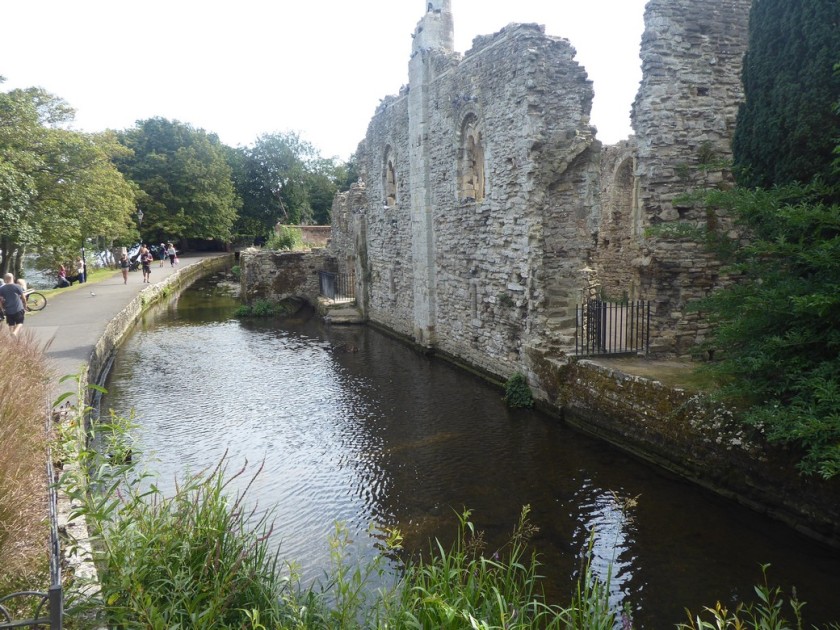
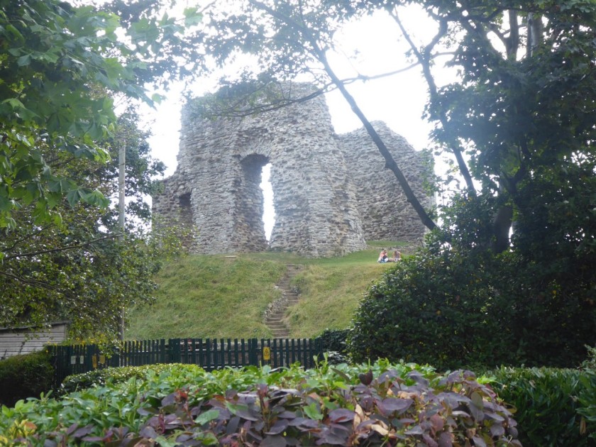
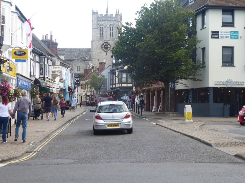
I am now back on a compacted sandy path running at the back of increasing sandy beaches, which become more populated as I approach the mouth of Christchurch Harbour. Above me, out of sight, is the Highcliffe Estate which the Solent Way path made an inland detour to visit. When I reached the harbour entrance I had to begin the inland detour around the harbour itself. This meant walking through the residential streets of Christchurch and crossing the River Avon, into the town centre. I took a few minutes to examine the Constables House and the ruins of Christchurch Castle, before walking through the busy streets to the railway station and my car.

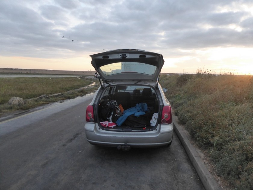
I drove the 5 miles to the Premier Inn, which should have been my bed for the night. I had never stayed at a Premier Inn before, and neither would that night! While checking in the receptionist said she had no knowledge of my booking. It turned that I had not checked the date of my stay when I booked the reservation……..I was exactly one month early! Oh bug%$r! With the hotel fully booked and no other accommodation available,I called my sister in Swanage, who offered me a bed for the night. However, it was a long way there and back from Christchurch. I then remembered a car park near Keyhaven, which I had walked past that morning and seen many mobile homes parked for the night….so I headed there. With two bottles of beer to hand and plenty of food,I was certainly not going to let this oversight delay my final days walk. I drove to the car park near Keyhaven and settled down for the night, with a bottle of Shephard’s Neame 1689 strong beer in hand.
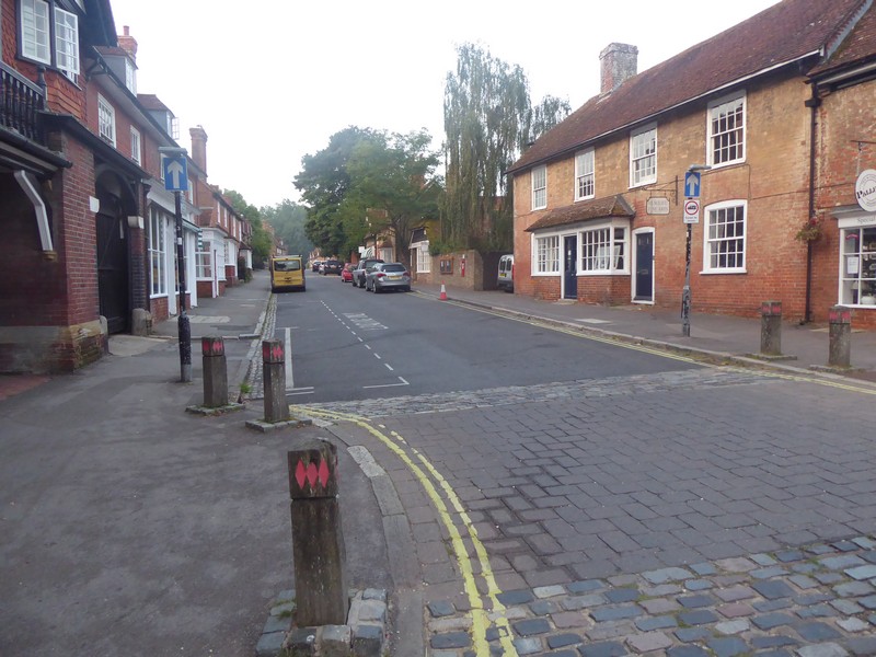
Heading westards again towards Christchurch
Below Highcliff
Approaching Mudeford on the outskirts of Christchurch
Looking across the Solent to the IOW at Mudeford
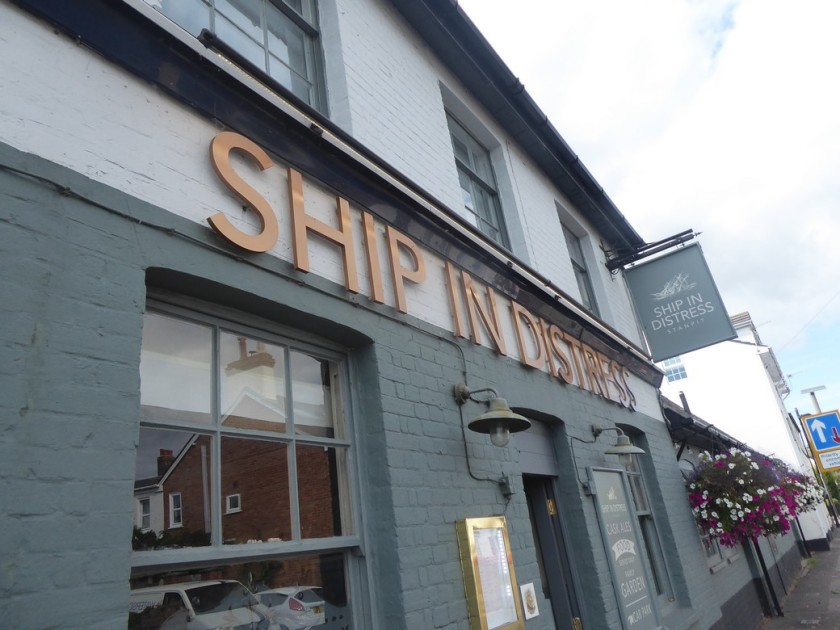
An unusual name for a pub in Stanpit
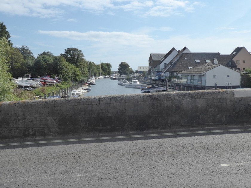
Crossing the River Avon into Christchurch
The Constables House a Norman dwelling from 1160
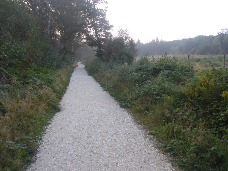
The ruined Christchurch Castle
Looking down Church Street to Christchurch Priory
My bed for the night back near Keyhaven

Distance today = 20 miles
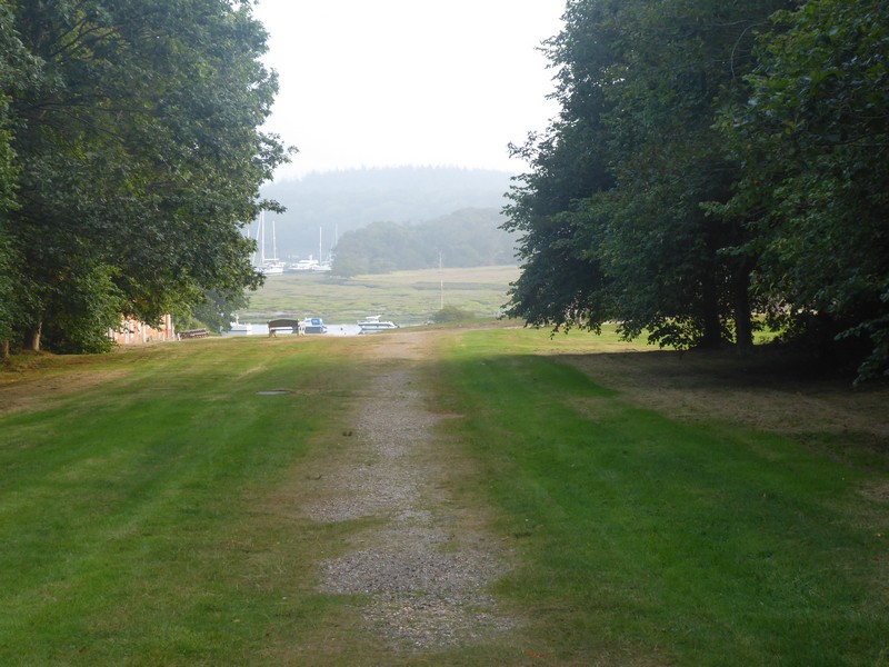
Total distance = 6,665.5 miles


358. Beaulieu to Lymington

I was a bit apprehensive about today’s walk, not only was the ongoing issue with my groin strain, which had improved over the last week; but the poor transport links within the New Forest meant I had to dig my bike out for the first time this year!

I decided to do just a single days walk and half the distance it would have normally been. I had originally planned to do an easy day on my final days walk, which I could now extend slightly. I drove to and found free car parking in Lymington. Here I got my bike out and set off down the B3054 at 06:00 peddling towards Beaulieu. There was very little traffic about, but I made sure I could be seen with a plethora of flashing red and white lights. The 6 to 7 miles to Beaulieu took about 40 minutes.

As with last weeks walk this area has little or no coastal access, so it would mean walking predominantly on quiet lanes with occasionally transferring to footpaths. The good news was it was a very quiet Sunday morning with little or no traffic. Because I did not want to return to Beaulieu to pick up up my bike I decided to push it back, which I had done many times while walking in the remoter parts of NW Scotland.

The Solent Way, which I was following, kept to the roads and was generally easy to follow, although I did lose the path or it was re-routed in a few places. This walk while being peaceful and easy going had little or no contact with the coast and many warning signs I had seen last week on the other side of the Beaulieu River were in existence today.

I walked the 10.5 miles in about 3.25 hours. My groin was ok and I had successfully ensured that I could complete my final two walking days in a single trip back down to the South Coast. I just need to decide within the next 10 days when I head back to the south coast and book an hotel.

Early Sunday morning on Beaulieu’s deserted High Street
On the Solent Way
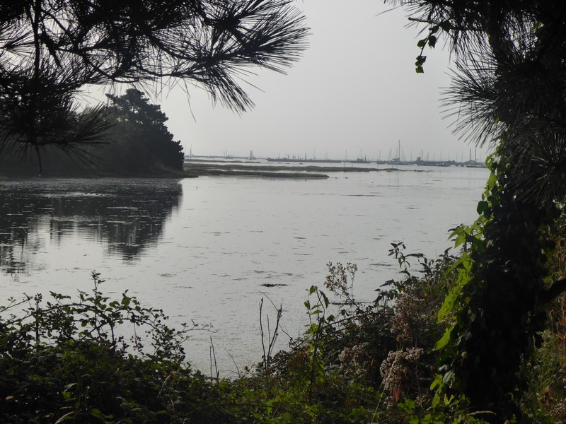
A rare glimpse of the Beaulieu River
The ruins of 14th Century St. Leonards Chapel
Looking south towards the Solent across what once the Advance Landing Ground at RAF Needs Ore Point, used for the D-Day landings
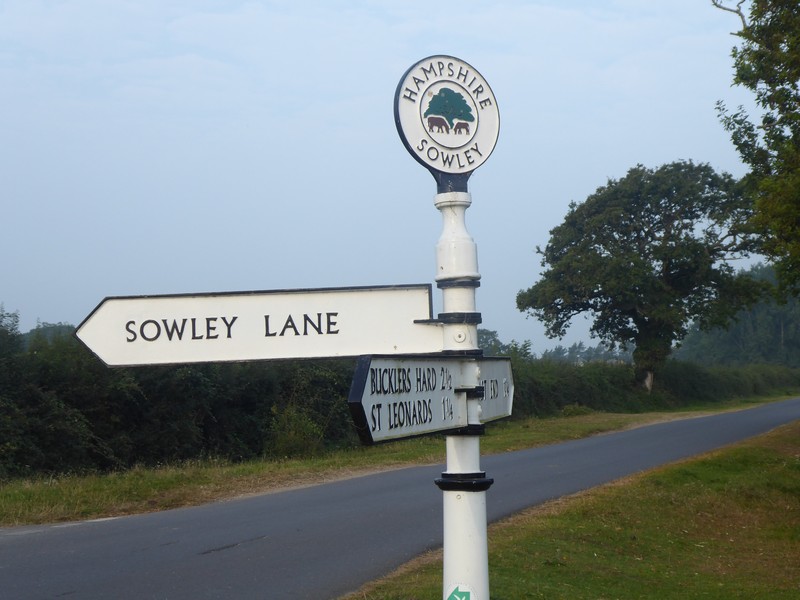
I love these old finger posts
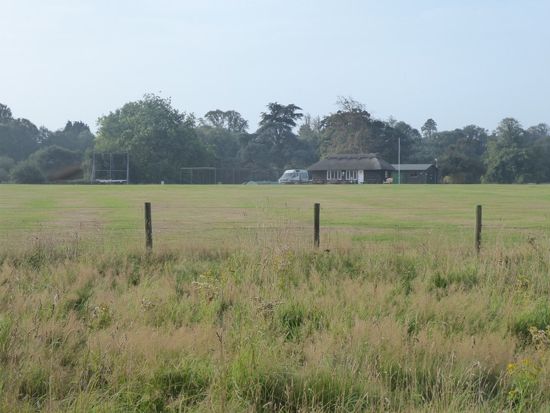
Cricket ground near Pylewell Park, note the thatched roof club house
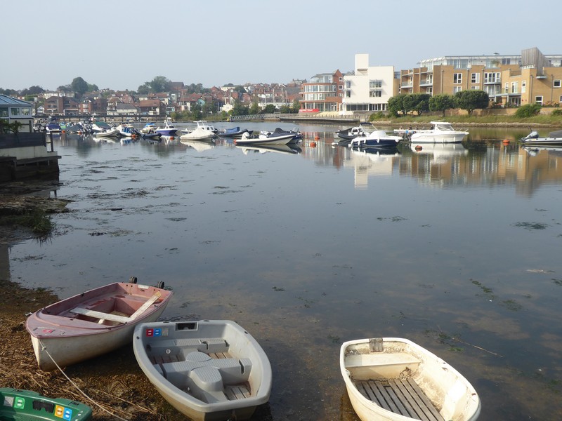
First view of the Lymington River
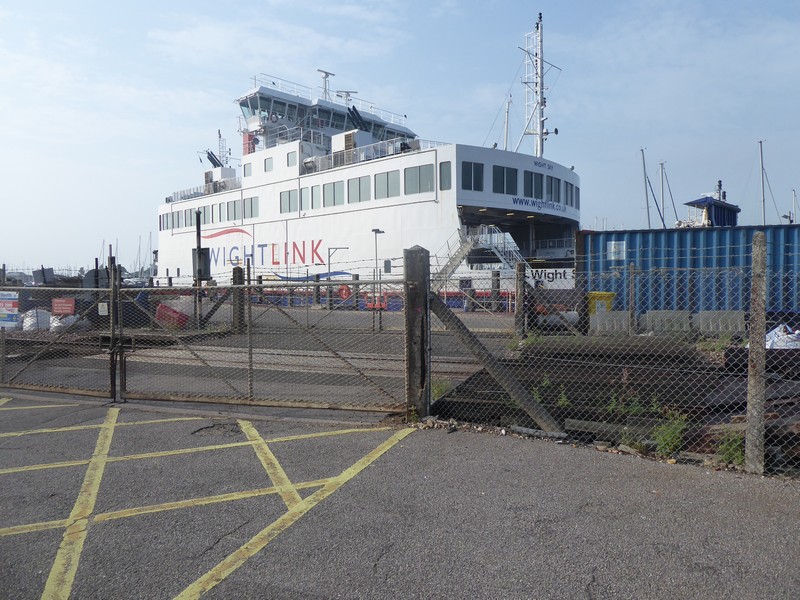
A terminal for the Isle of Wight (Yarmouth) ferry service
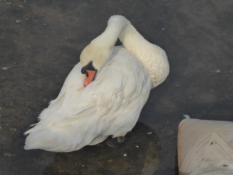
A Mute Swan preening itself on Lymington River
Lymington
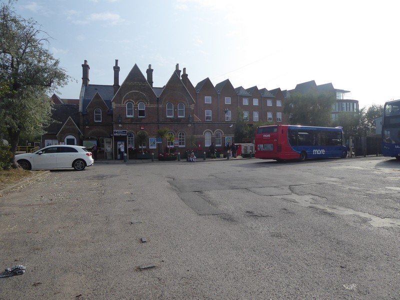
Lymington Town railway station

Distance today = 10.5 miles
Total distance = 6,645.5 miles