
I was a bit apprehensive about today’s walk, not only was the ongoing issue with my groin strain, which had improved over the last week; but the poor transport links within the New Forest meant I had to dig my bike out for the first time this year!
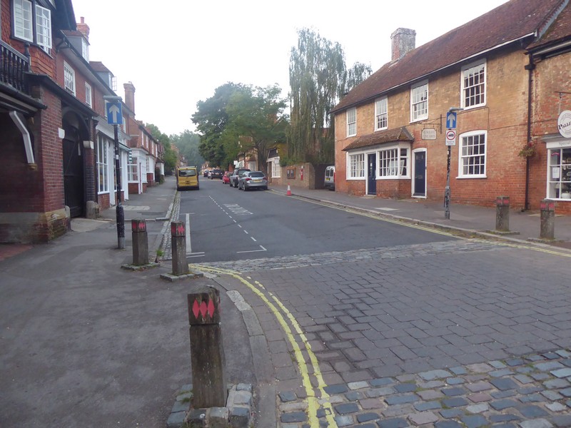
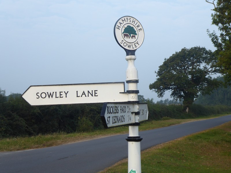
I decided to do just a single days walk and half the distance it would have normally been. I had originally planned to do an easy day on my final days walk, which I could now extend slightly. I drove to and found free car parking in Lymington. Here I got my bike out and set off down the B3054 at 06:00 peddling towards Beaulieu. There was very little traffic about, but I made sure I could be seen with a plethora of flashing red and white lights. The 6 to 7 miles to Beaulieu took about 40 minutes.
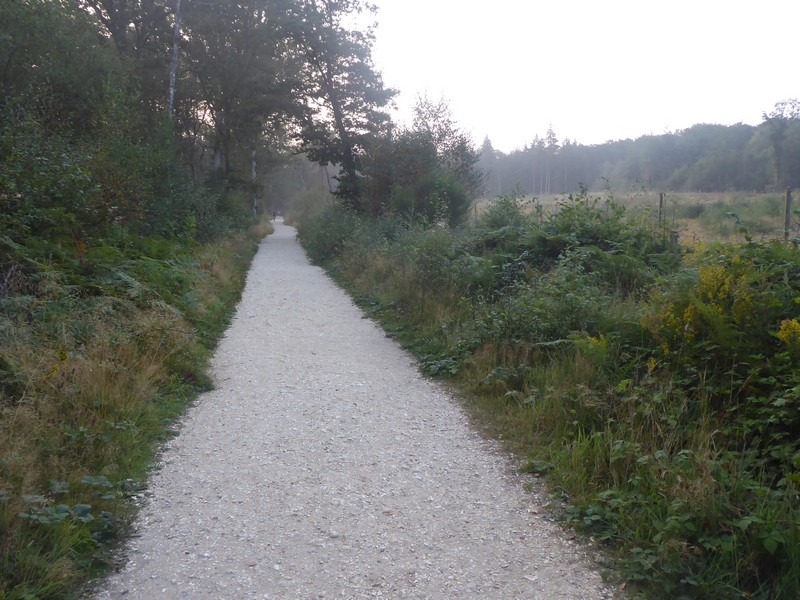
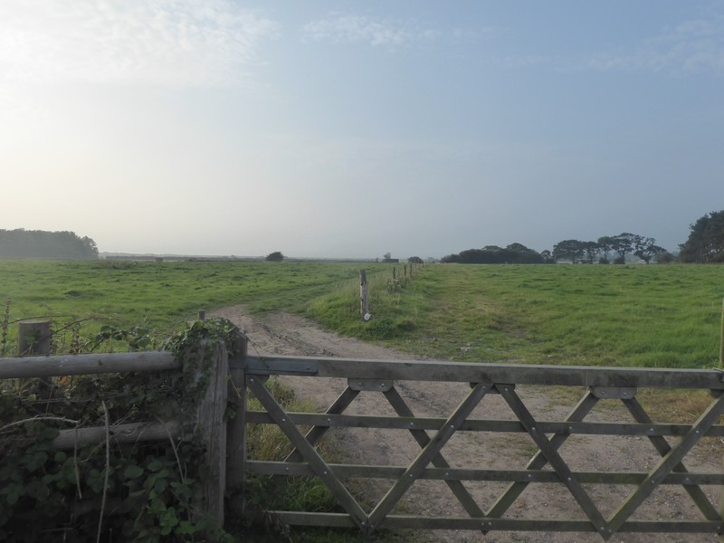
As with last weeks walk this area has little or no coastal access, so it would mean walking predominantly on quiet lanes with occasionally transferring to footpaths. The good news was it was a very quiet Sunday morning with little or no traffic. Because I did not want to return to Beaulieu to pick up up my bike I decided to push it back, which I had done many times while walking in the remoter parts of NW Scotland.
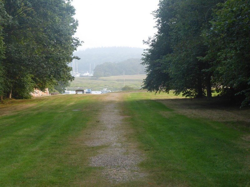
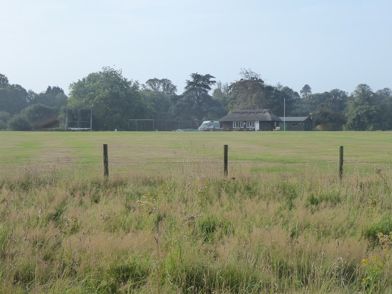
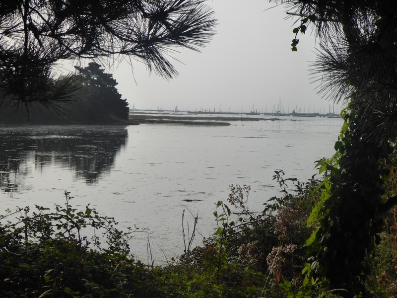
The Solent Way, which I was following, kept to the roads and was generally easy to follow, although I did lose the path or it was re-routed in a few places. This walk while being peaceful and easy going had little or no contact with the coast and many warning signs I had seen last week on the other side of the Beaulieu River were in existence today.
I walked the 10.5 miles in about 3.25 hours. My groin was ok and I had successfully ensured that I could complete my final two walking days in a single trip back down to the South Coast. I just need to decide within the next 10 days when I head back to the south coast and book an hotel.
Distance today = 10.5 miles
Total distance = 6,645.5 miles
